Enable Location

We need your location to show you interesting places around you

Discover nearby places

Find interesting locations and hidden gems around you

Precise directions

Get accurate directions and distances to places

Your location is never shared with other users. It's only used when you tap the location button.

Log in to your account

Start exploring — it's free

Trusted by 62,948 travelers worldwide

Continue with Google
Continue with Apple
or

We will send you a code to connect

By continuing, you accept our Terms and Conditions and our Privacy Policy

Check your inbox

We've sent a pincode in your inbox. Please enter the code below.

Mae Sariang
Discussion Reviews Photo
14.7k Popularity

Mae Sariang, Administrative district in Mae Hong Son Province, Thailand.

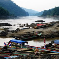
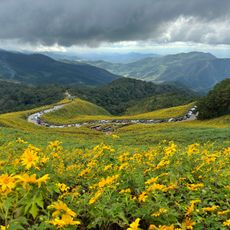
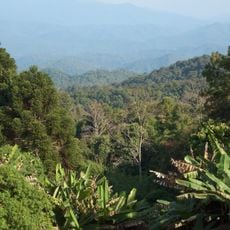
Mae Sariang is an administrative district in Mae Hong Son Province that spreads across mountainous terrain intersected by the Yuam River. The region sits at roughly 584 meters elevation and borders Myanmar.

The district was founded around 1900 under the name Mueang Yuam before receiving its current name Mae Sariang in 1917. This name change marked an important administrative reorganization of the region.

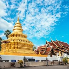
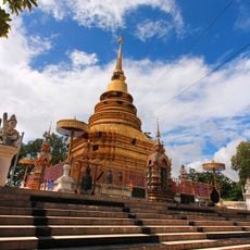
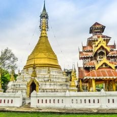
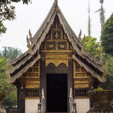
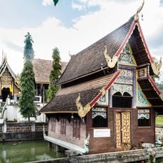
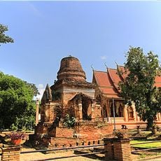
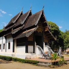
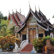
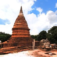
The area is shaped by several ethnic groups including Tai Yuan, Shan, and Red Karen people who influence daily life and local architecture. Temples, mosques, and churches stand side by side, reflecting how different faiths coexist in the community.

The district sits roughly 190 kilometers from Chiang Mai International Airport and connects to major towns through Provincial Highway 108. The mountainous location should be considered when planning visits.

The area is known for its border position and serves as a bridge between Thailand and Myanmar, giving a visit special geographic significance. This location shapes the character and connections of the region.

The community of curious travelers

AroundUs brings together thousands of curated places, local tips, and hidden gems, enriched daily by 60,000 contributors worldwide.

Start exploring
Location
Elevation above the sea
584 m
GPS coordinates
18.15944,97.93361
Latest update
December 7, 2025 20:20
Reviews
Share your experience

No review yet

Discussions
Start a discussion...

No discussion yet

« Mae Sariang - Administrative district in Mae Hong Son Province, Thailand » is provided by Around Us (aroundus.com). Images and texts are derived from Wikimedia project under a Creative Commons license. You are allowed to copy, distribute, and modify copies of this page, under the conditions set by the license, as long as this note is clearly visible.

Discover hidden gems everywhere you go!

From secret cafés to breathtaking viewpoints, skip the crowded tourist spots and find places that match your style. Our app makes it easy with voice search, smart filtering, route optimization, and insider tips from travelers worldwide. Download now for the complete mobile experience.

Around Us App Screenshot

A unique approach to discovering new places

Le Figaro

All the places worth exploring

France Info

A tailor-made excursion in just a few clicks

20 Minutes

Around Us
Travel Guide & Maps
Download

Send to your phone

QR Code
1

Open the camera app on your mobile.

2

Point at the QR code with your camera. A notification will appear.

3

Tap the notification to open the link.