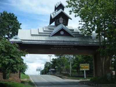
Mae Hong Son, Provincial territory in northwestern Thailand
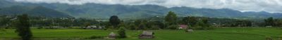
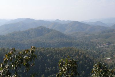
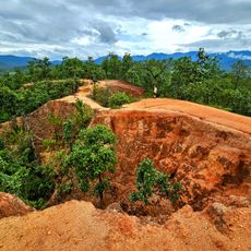
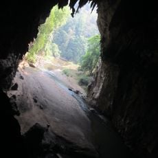
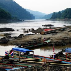
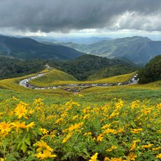
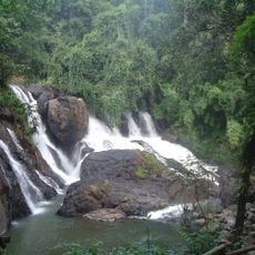
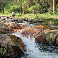
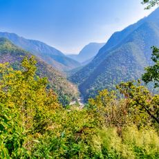
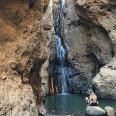
Mae Hong Son is a province in northwestern Thailand that spreads across mountainous terrain with dense forest cover. The landscape is cut through by valleys where small towns and villages sit among the forested hills.
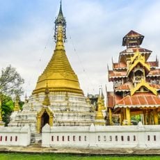
The area began in the early 19th century as a training ground for elephants set up by the King of Chiang Mai near the border with Myanmar. Later it developed into its own administrative territory with several districts.
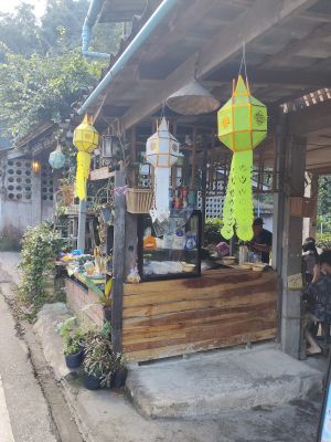
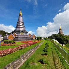
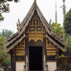
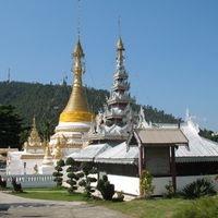
The region is home to several ethnic communities whose villages often sit at the foot of mountain slopes, where visitors can see wooden houses on stilts. Many of these settlements maintain their own languages and customs, which show up in local markets and festivals.
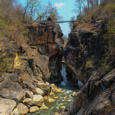
Travelers can reach the province by plane from Chiang Mai or via winding mountain roads that connect different districts. Those driving should expect longer travel times as the roads pass through steep terrain.
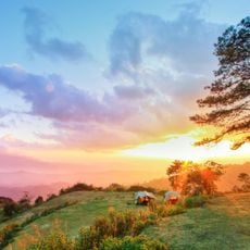
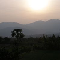
The province goes through three distinct mist periods throughout the year caused by its position among high mountains and shifting temperatures. These mist banks often roll through the valleys in the morning and give the landscape a changing appearance.
The community of curious travelers
AroundUs brings together thousands of curated places, local tips, and hidden gems, enriched daily by 60,000 contributors worldwide.