
Ban Chang, subdistrict in Mueang Pathum Thani district, Pathum Thani province, Thailand
Location: Mueang Pathum Thani
GPS coordinates: 14.02983,100.50547
Latest update: March 3, 2025 13:39
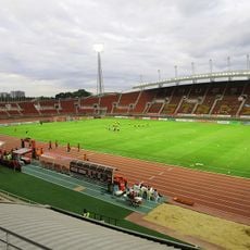
Thammasat Stadium
10.9 km
Wat San Chao
4.9 km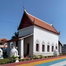
Wat Ku
10.9 km
Wat Makham
4.9 km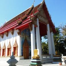
Wat Bot
10.1 km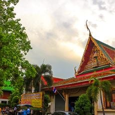
Wat Bot
3.9 km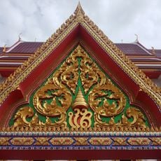
Wat Chinwararam
7.5 km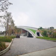
Puey Park for People and Sustainability
12.4 km
Wat Prot Ket
11.9 km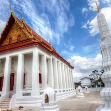
Wat Ko Phaya Cheng
11.8 km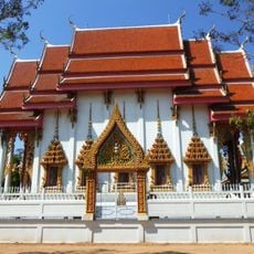
Wat Krang
10.2 km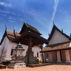
Wat Sing
4.6 km
Wat Bang Duea
5.6 km
Wat Welu Wan
9.8 km
Wat Prem Pracha
10.6 km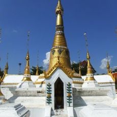
Wat Chedi Thong
6.7 km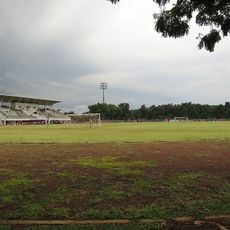
Bangkok University Stadium
10.5 km
Wat Bang Luang
4.8 km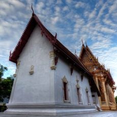
Wat Thong Khung
12.2 km
Wat Samlae
5.5 km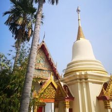
Wat Sopharam
3.6 km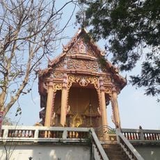
Wat Hong Pathumawat
3.3 km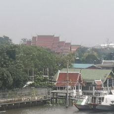
Wat Tamnak Nuea
12 km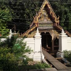
Wat Nam Won
6.5 km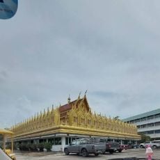
Wat Chaiyasitthawat
4.5 km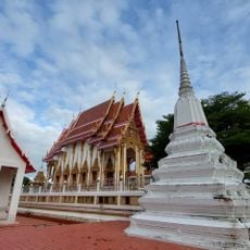
Wat Tamnak
4.8 km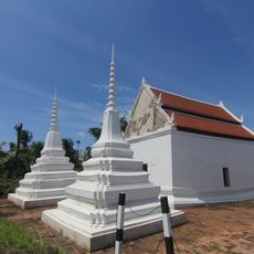
Wat Sakae
4.7 km
Tooney Toy Museum Thailand
12.2 kmReviews
Visited this place? Tap the stars to rate it and share your experience / photos with the community! Try now! You can cancel it anytime.
Discover hidden gems everywhere you go!
From secret cafés to breathtaking viewpoints, skip the crowded tourist spots and find places that match your style. Our app makes it easy with voice search, smart filtering, route optimization, and insider tips from travelers worldwide. Download now for the complete mobile experience.

A unique approach to discovering new places❞
— Le Figaro
All the places worth exploring❞
— France Info
A tailor-made excursion in just a few clicks❞
— 20 Minutes