
Mon Thang Kao, Berggipfel in Thailand
Location: Lampang
Elevation above the sea: 720 m
GPS coordinates: 18.64139,99.44750
Latest update: March 24, 2025 11:42
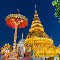
Wat Phra That Hariphunchai
46.9 km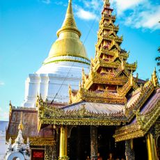
Wat Phra Kaeo Don Tao Suchadaram
38.4 km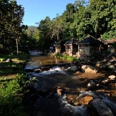
Chae Son National Park
21.6 km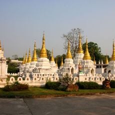
Wat Phra Chedi Chao Lang
36.2 km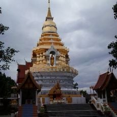
Wat Phra That Doi Saket
41.4 km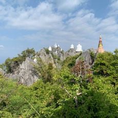
Wat Chaloem Phra Kiat Phrachomklao Rachanusorn
14.7 km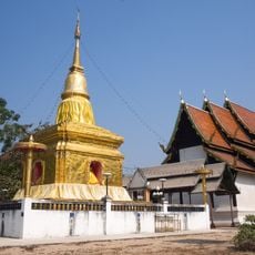
Wat Buak Krok Luang
45.8 km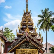
Wat Si Chum
40.2 km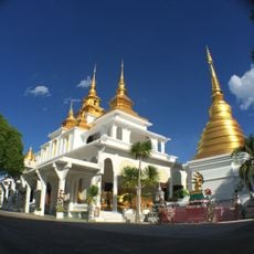
Wat Chet Wan
39.5 km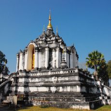
Wat Phra Yuen
45.7 km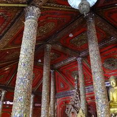
Wat Si Rong Mueang
39.2 km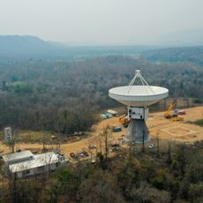
Thai National Radio Telescope
34.7 km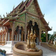
Wat Mahawan
47.4 km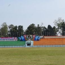
Lampang Province Stadium
37.8 km
Tube Trek Water Park Chiang Mai
39.5 km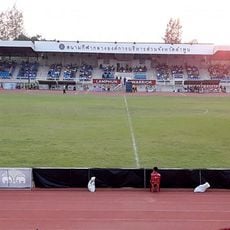
Lamphun Province Stadium
47.3 km
Wat Pratu Pa
46.8 km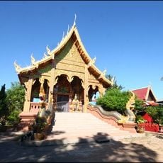
Wat Pa Yang
33 km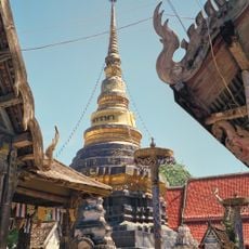
Wat Pongsanuk Tai
38.9 km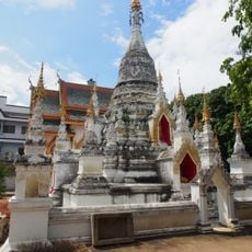
Wat Suphan Rangsi
46.9 km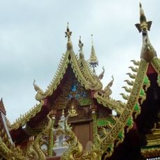
Wat Rong Wua Daeng
31.3 km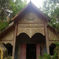
Wat Khantha Phrueksa
26.9 km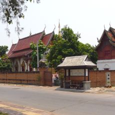
Wat Chang Si
46.8 km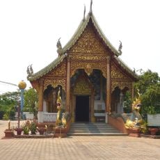
Wat Hua Khua
46.6 km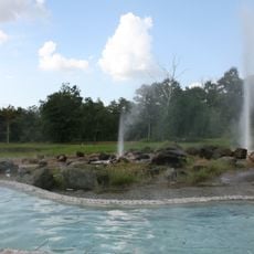
Sankampaeng Hot Springs
30.3 km
Wat Pa Hiang
36.3 km
Wat Ban Luk
45.8 km
Wat San Sai
38.2 kmReviews
Visited this place? Tap the stars to rate it and share your experience / photos with the community! Try now! You can cancel it anytime.
Discover hidden gems everywhere you go!
From secret cafés to breathtaking viewpoints, skip the crowded tourist spots and find places that match your style. Our app makes it easy with voice search, smart filtering, route optimization, and insider tips from travelers worldwide. Download now for the complete mobile experience.

A unique approach to discovering new places❞
— Le Figaro
All the places worth exploring❞
— France Info
A tailor-made excursion in just a few clicks❞
— 20 Minutes