Thang khea natk khuha swrrkh, Wasserfall in Thailand
Location: Nakhon Si Thammarat
Elevation above the sea: 195 m
GPS coordinates: 8.22131,99.81774
Latest update: March 15, 2025 23:30

Wat Phra Mahathat
26.8 km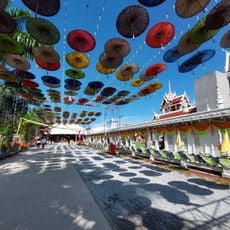
Wat Chedi
76.8 km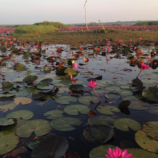
Thale Noi Non-Hunting Area
62.7 km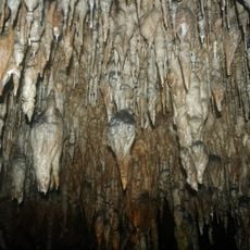
Khao Chang Hai cave
72.2 km
Nakhon Si Thammarat Province Stadium
30.2 km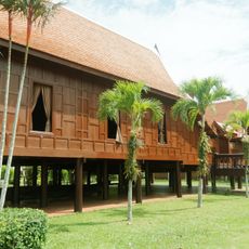
Wang Chao Mueang Phatthalung
75.8 km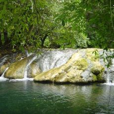
Khao Pu - Khao Ya National Park
52.3 km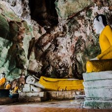
Wat Tham Khuha Sawan
72.9 km
Wat Wang
75.6 km
Wat Khao Daeng Tawan Ok
70.8 km
Khao Kang
73.2 km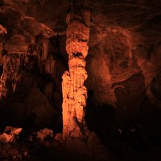
Tai Romyen National Park
82.5 km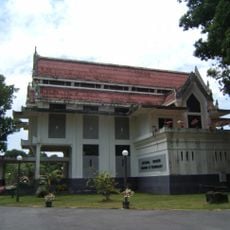
Nakhon Si Thammarat National Museum
26 km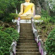
Wat Khao Mueang Kao
64.8 km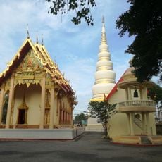
Wat Tantaya Phirom
77.3 km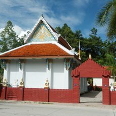
Wat Chaeng
64.9 km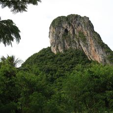
Khao Ok Thalu
72.4 km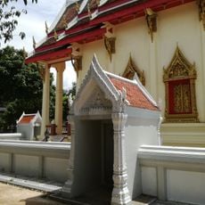
Wat Khlong Nam Chet
79.3 km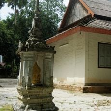
Wat Nikhro Tharam
75.5 km
Trang City municipality Stadium
77.6 km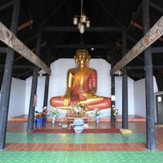
Wat Thao Khot
26.3 km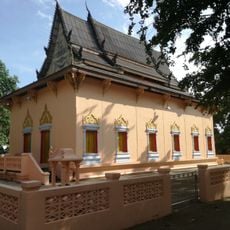
Wat Nikhom Prathip
78.4 km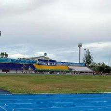
Phattalung Province Stadium
71.9 km
Walailak University Stadium
48.2 km
Mueang Kao Chai Buri Forest Park
65.6 km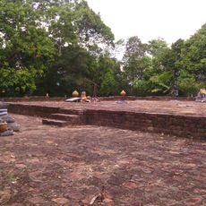
Khao Kha Archaeological Site
73.3 km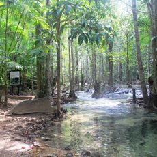
Khao Pra - Bang Khram Wildlife Sanctuary
69.8 km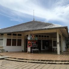
Trang Provincial Civil Service Club
77.2 kmReviews
Visited this place? Tap the stars to rate it and share your experience / photos with the community! Try now! You can cancel it anytime.
Discover hidden gems everywhere you go!
From secret cafés to breathtaking viewpoints, skip the crowded tourist spots and find places that match your style. Our app makes it easy with voice search, smart filtering, route optimization, and insider tips from travelers worldwide. Download now for the complete mobile experience.

A unique approach to discovering new places❞
— Le Figaro
All the places worth exploring❞
— France Info
A tailor-made excursion in just a few clicks❞
— 20 Minutes