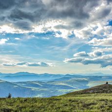
Pnive, mountain
Location: Verkhovyna Raion
GPS coordinates: 47.87173,24.84817
Latest update: November 22, 2025 09:42
Hora Chyvchyn
10.3 km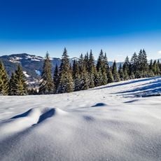
Verkhovyna National Nature Park
4.4 km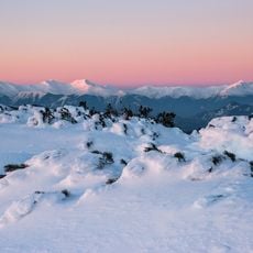
Mount Hnatasya
14.3 km
Baba Liudova
7.7 km
Pogrebin
11.2 km
Masnyi Pryslip
8.7 km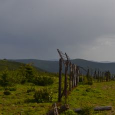
Palenica58
12.7 km
Koman
10.2 km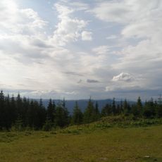
Chornyi Dil Landscape Reserve
12.8 km
Priluchny
8.9 km
Gora Shuligul
10.5 km
Purulia
7.5 km
Visyache Swamp
3 km
Hora Tarnytsya
8.4 km
Lostun
5.9 km
Komanova
11.8 km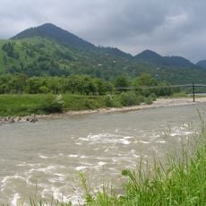
Cheremosh preserve
14.6 km
Bilyi Potik
14.5 km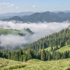
Chyvchyno-Hryniavskyi Reserve
3.6 km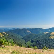
Redyskul
14 km
Yalynova Dilianka
12.6 km
Клявза Лостунець
3 km
Prince Rudolf's dam
11.8 km
Kliauza Baltagul
7.3 km
Scenic viewpoint
13.3 km
Waterfall
9.4 km
Яловичерський водоспад
12.5 km
Кортузіанський водоспад
12.5 kmReviews
Visited this place? Tap the stars to rate it and share your experience / photos with the community! Try now! You can cancel it anytime.
Discover hidden gems everywhere you go!
From secret cafés to breathtaking viewpoints, skip the crowded tourist spots and find places that match your style. Our app makes it easy with voice search, smart filtering, route optimization, and insider tips from travelers worldwide. Download now for the complete mobile experience.

A unique approach to discovering new places❞
— Le Figaro
All the places worth exploring❞
— France Info
A tailor-made excursion in just a few clicks❞
— 20 Minutes