Prince Rudolf's dam
Location: Селятинська сільська громада
GPS coordinates: 47.78763,24.94433
Latest update: October 28, 2025 17:18
Tomnatyk
7.2 km
Hora Chyvchyn
19.5 km
Verkhovyna National Nature Park
8.9 km
Gonosz-kő
25.3 km
Mount Hnatasya
6.7 km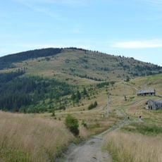
Yarovytsia
6.4 km
Suchavskyi Huk
15.8 km
Palenica58
6.3 km
Cornu Nedeii - Ciungii Bălăsinii
15.1 km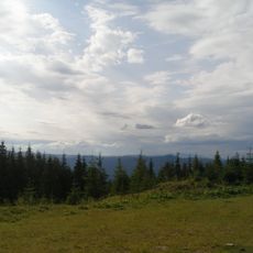
Chornyi Dil Landscape Reserve
1.2 km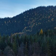
Molochnobratskyi Nature Reserve
5.1 km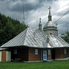
Church of the Nativity of Mary
21.4 km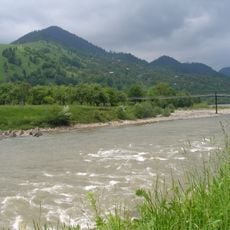
Cheremosh preserve
23.4 km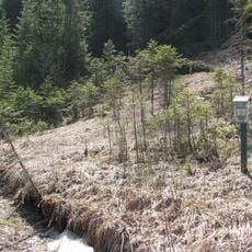
Bilyi Potik
2.9 km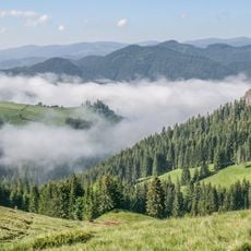
Chyvchyno-Hryniavskyi Reserve
15.1 km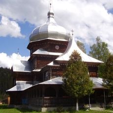
Церква святого Іллі
15.7 km
Клявза Лостунець
11.5 km
Podul Cearcănul
17.9 km
Клявза Баюрівка
5 km
Скелі Чорний Див
20.9 km
Кляуза Лостун
11.9 km
Kliauza Baltagul
5.8 km
Pamir
7.2 km
Work of art
9.1 km
Work of art
9 km
Scenic viewpoint
23.4 km
Scenic viewpoint
6.4 km
Scenic viewpoint
25.1 kmReviews
Visited this place? Tap the stars to rate it and share your experience / photos with the community! Try now! You can cancel it anytime.
Discover hidden gems everywhere you go!
From secret cafés to breathtaking viewpoints, skip the crowded tourist spots and find places that match your style. Our app makes it easy with voice search, smart filtering, route optimization, and insider tips from travelers worldwide. Download now for the complete mobile experience.

A unique approach to discovering new places❞
— Le Figaro
All the places worth exploring❞
— France Info
A tailor-made excursion in just a few clicks❞
— 20 Minutes