Yarovytsia, Mountain summit in Putylskyi district, Ukraine.
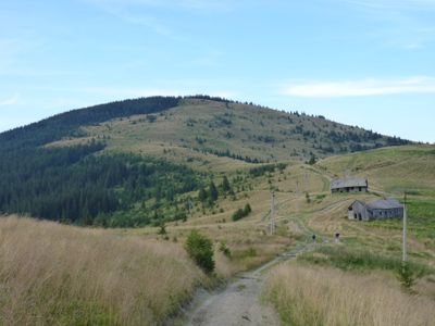
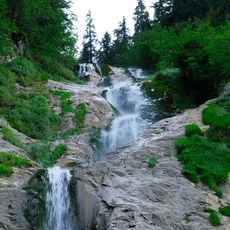
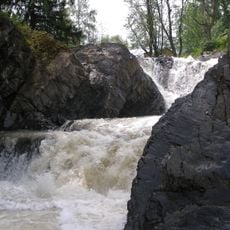
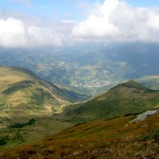
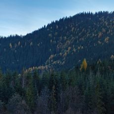
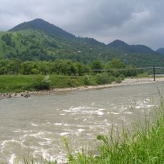
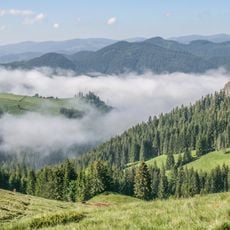
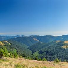
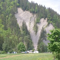
Yarovytsia is a mountain peak reaching 1574.4 meters in the Yalovychora Mountains of the Ukrainian Carpathians, with steep slopes dropping away to the north and south. The summit sits above densely forested lower elevations with pronounced terrain variations.
A 1971 topographic survey expedition mapped the geographic details of this peak and established it as a reference point for regional mapping efforts. This early documentation shaped understanding of the Carpathian mountain range.
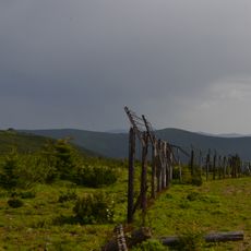
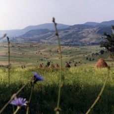
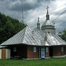
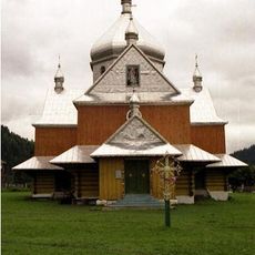
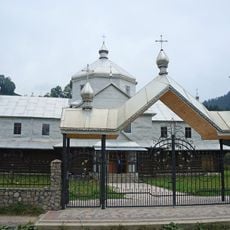
The mountain serves as a gathering place for neighboring village communities, with traditional routes connecting settlements and tying together the region's local networks.
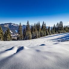
Hiking routes to this summit begin from Verkhnii Yalovet village, roughly 4.3 kilometers away, and checking weather forecasts beforehand is advisable as conditions change quickly. The peak is most accessible during dry periods with proper hiking gear.
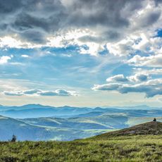
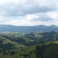
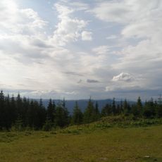
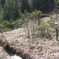
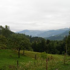
The upper section of the mountain remains free of forest cover, forming natural meadows that contrast sharply with the densely wooded lower slopes. These open grasslands provide unobstructed views across the surrounding mountain ranges.
The community of curious travelers
AroundUs brings together thousands of curated places, local tips, and hidden gems, enriched daily by 60,000 contributors worldwide.