Tomnatyk, Mountain summit in Chernivtsi Oblast, Ukraine
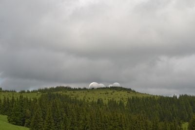
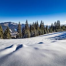
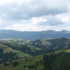
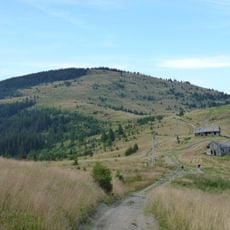
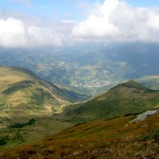
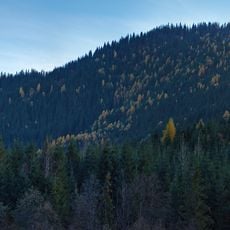
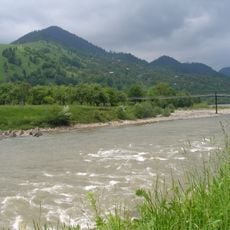
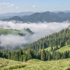
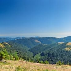
Tomnatyk is a mountain summit in the Carpathians, located in Chernivtsi Oblast, Ukraine, reaching 2,016 ft (2,016 m) in elevation. Its slopes move from dense forest at lower levels to open subalpine meadows near the top, where the ground is covered with a range of plant species.
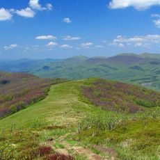
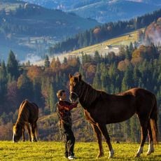
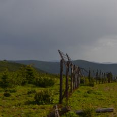
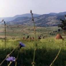
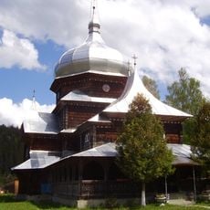
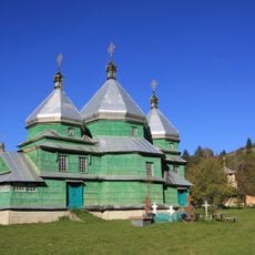
The Carpathian range, where this summit stands, has been used by herding communities for centuries, who brought their flocks to the high pastures each summer. This seasonal movement shaped the landscape and left behind a network of paths still used by hikers today.
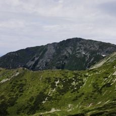
The name Tomnatyk comes from old regional vocabulary and roughly means 'gray top', reflecting how mountain communities in the Carpathians named the land around them. This tradition of descriptive naming gives each summit its own identity across the range.
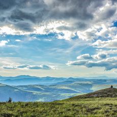
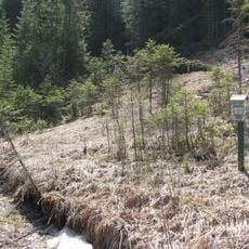
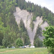
The best time to visit is between June and September, when the trails are clear of snow and the days are longer. Weather at this elevation can shift fast, so carrying warm layers and rain gear is a good idea even on clear mornings.
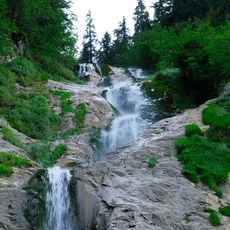
Lake Brebeneskul sits at 1,801 m on the northeastern slope, making it one of the highest lakes in the Ukrainian Carpathians. Many hikers heading for the summit are surprised to find a lake there, as it does not appear clearly on most trail maps.
The community of curious travelers
AroundUs brings together thousands of curated places, local tips, and hidden gems, enriched daily by 60,000 contributors worldwide.