Eastern Carpathians

Log in to your account

AroundUs is a community-driven map of interesting places, built by curious explorers like you. It grows with every review, story, and photo you share.
Connect to save your favorite spots, contribute locations, and create personalized routes.
By continuing, you accept our Terms and Conditions and our Privacy Policy
Add to collection
Map
Suggest a change
Share

Eastern Carpathians, Mountain range in Eastern Europe.

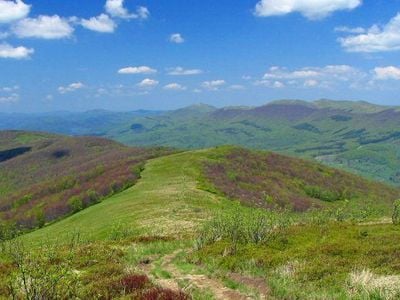
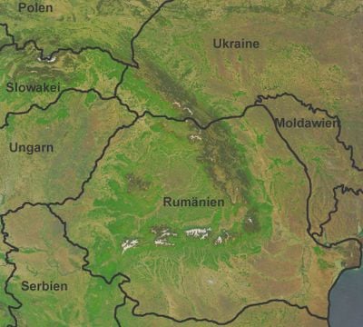
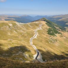
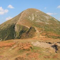
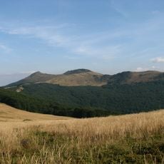
The range is a mountain system in Eastern Europe stretching across Romania, Ukraine, Poland, and Slovakia, linking dense forests with numerous peaks. The landscape alternates between steep valleys, rolling ridges, and wide high plateaus reaching elevations above 6500 feet (2000 meters).

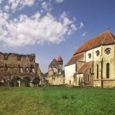
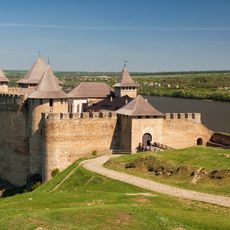
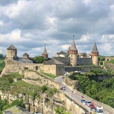
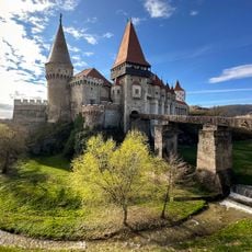
The range formed a natural boundary between different territories for centuries and shaped migration routes between east and west. Many passes served as trade roads linking regional markets and encouraging exchanges among neighboring communities.

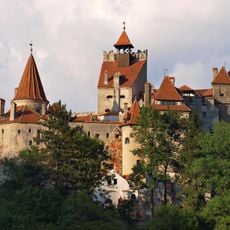
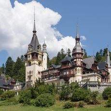
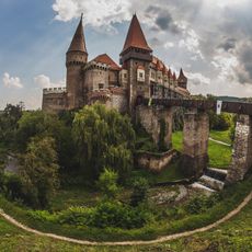
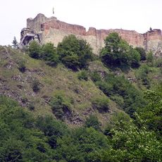
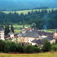
Shepherds drive their flocks to high pastures in summer, where they live in simple huts and make cheese. Their wooden architecture with carved gates and steep shingled roofs still shapes many mountain villages across the region.

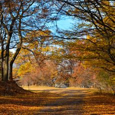
Marked trails connect different mountain regions and pass through forests and open ridges, with some routes requiring several days of walking. Mountain huts and small guesthouses offer shelter at higher elevations, while villages at the foot serve as starting points.

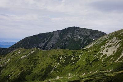
Large populations of brown bears and wolves live in the deep forests, finding wide habitats here. Broad areas of old tree stands remain mostly untouched today and rank among the largest in Europe outside Russia.

Location: Subcarpathian Voivodeship

Location: Prešov Region

Location: Zakarpattia Oblast

Location: Ivano-Frankivsk Oblast

Location: Chernivtsi Oblast

Location: Vrancea County

Location: Bacău County

Location: Neamț County

Location: Suceava County

Location: Maramureș County

Location: Bistrița-Năsăud County

Location: Mureș County

Location: Harghita County

Location: Covasna County

Location: Buzău County

Location: Prahova County

Elevation above the sea: 923 m

Part of: Carpathian Mountains

GPS coordinates: 47.59450,24.63640

Latest update: December 4, 2025 23:42

Photos
Reviews

Visited this place? Tap the stars to rate it and share your experience / photos with the community! Try now! You can cancel it anytime.

« Eastern Carpathians - Mountain range in Eastern Europe » is provided by Around Us (aroundus.com). Images and texts are derived from Wikimedia project under a Creative Commons license. You are allowed to copy, distribute, and modify copies of this page, under the conditions set by the license, as long as this note is clearly visible.

Discover hidden gems everywhere you go!

From secret cafés to breathtaking viewpoints, skip the crowded tourist spots and find places that match your style. Our app makes it easy with voice search, smart filtering, route optimization, and insider tips from travelers worldwide. Download now for the complete mobile experience.

Around Us App Screenshot

A unique approach to discovering new places

Le Figaro

All the places worth exploring

France Info

A tailor-made excursion in just a few clicks

20 Minutes