Prahova County, Administrative district in southern Romania
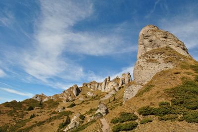
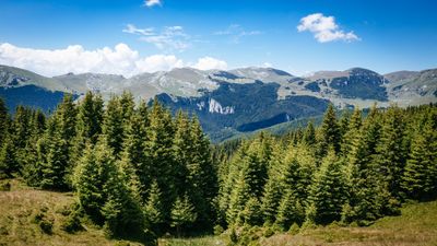
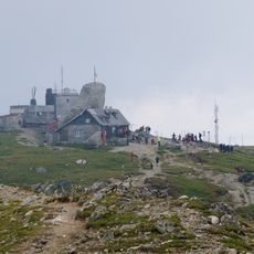
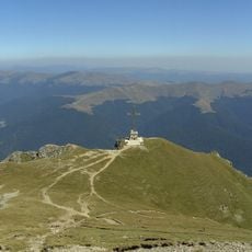
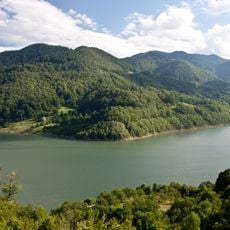
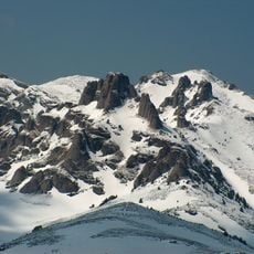
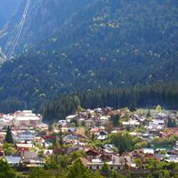
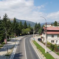
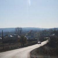
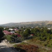
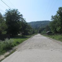
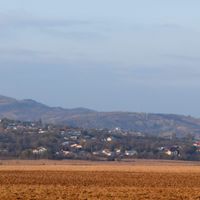
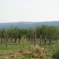
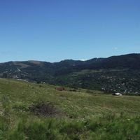
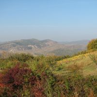
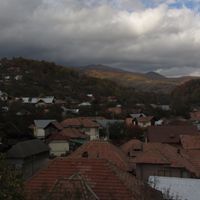
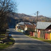
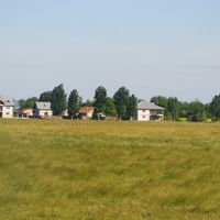
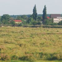
Prahova County is an administrative district in southeastern Romania that spans from the southern Carpathian Mountains through the Prahova River Valley to agricultural plains in its southern portions. The landscape varies between mountainous terrain in the north and flatter farming areas toward the south.
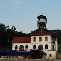
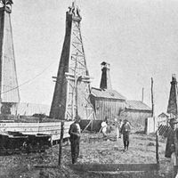
The region received its present administrative status in 1968 and became an industrial center due to significant oil reserves. Petroleum processing shaped the economic development of the territory for many decades.
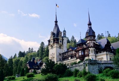
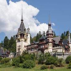
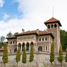
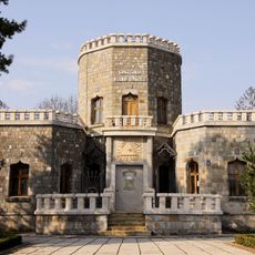
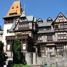
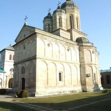
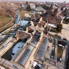
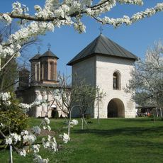
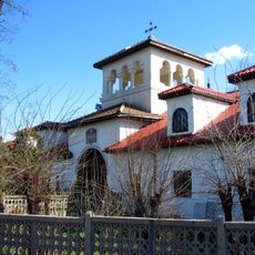
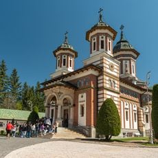
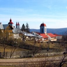
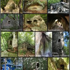
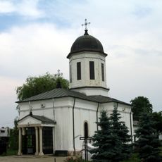
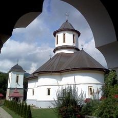
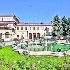
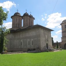
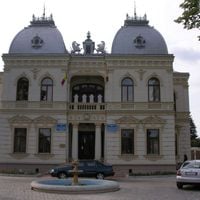
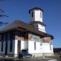
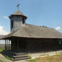
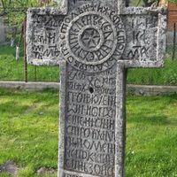
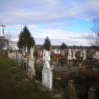
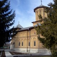
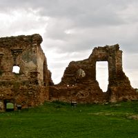
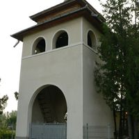
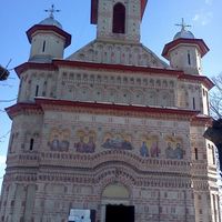
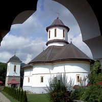
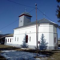
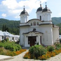
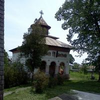
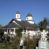
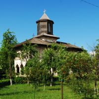
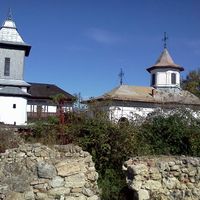
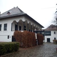
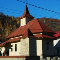
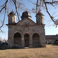
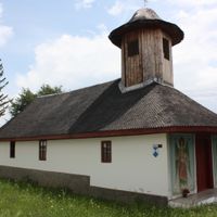
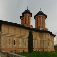
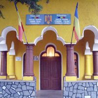
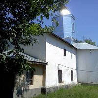
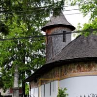
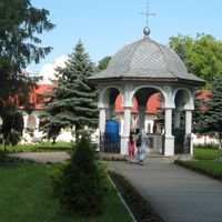
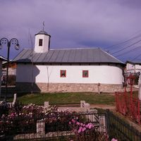
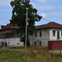
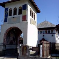
The territory features medieval fortresses and Orthodox monasteries that reflect traditional Romanian building styles across different periods. These structures shape the landscape and reveal the spiritual and defensive heritage visitors encounter throughout the region.
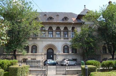
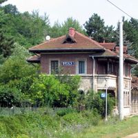
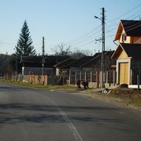
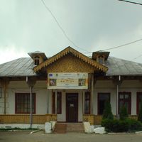
The territory is well served by national roads and railway connections that link the capital city Ploiești with Bucharest and other Romanian regions. Visitors should plan for varied geography with mountains in the north and flatter areas in the south.
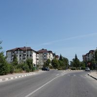
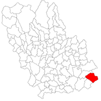
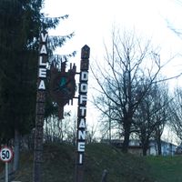
The territory is divided into 104 administrative subdivisions comprising 14 cities and 90 communes, making it one of the most populated regions in the country. This fragmented structure reflects the long history of local settlement and administration patterns.
The community of curious travelers
AroundUs brings together thousands of curated places, local tips, and hidden gems, enriched daily by 60,000 contributors worldwide.