Prešov Region, Administrative region in northeastern Slovakia.
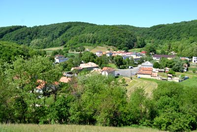
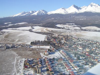
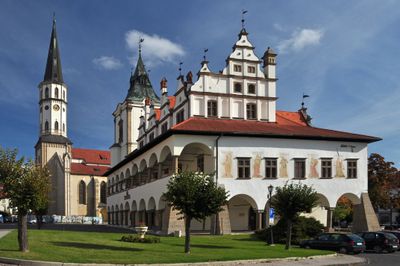
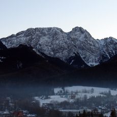
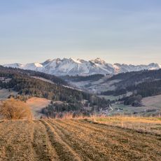
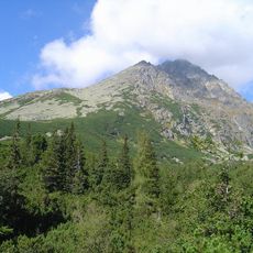
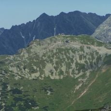
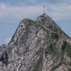
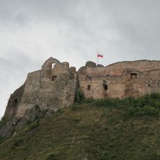
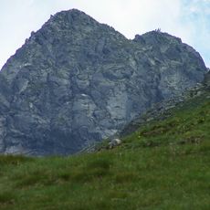
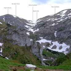
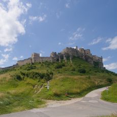
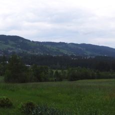
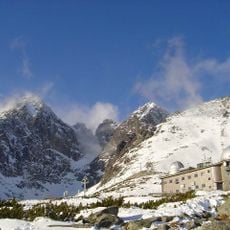
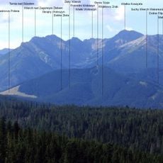
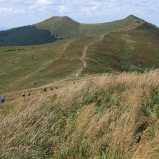
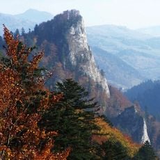
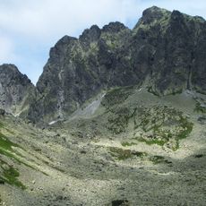
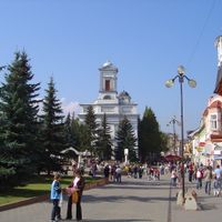
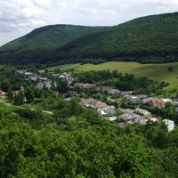
Prešov Region is an administrative area in northeastern Slovakia with mountainous terrain and several major towns. It comprises thirteen districts including Bardejov, Poprad, and Stará Ľubovňa, each serving as local centers.
The region received its current administrative structure in 1949 when Slovakia reorganized territories into a district system, replacing the county organization from the Austro-Hungarian era. This reform established the framework still used today.
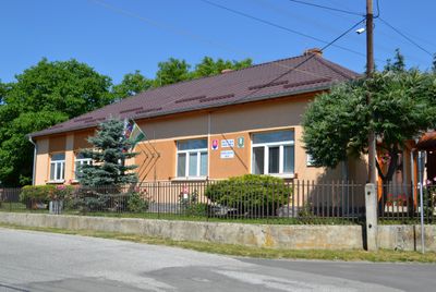
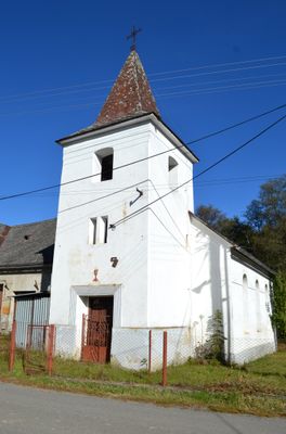
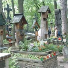
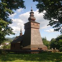
Slovak, Roma, and Rusyn communities live throughout the region, each maintaining their distinct languages and traditions. You notice these cultural differences reflected in local customs, celebrations, and the way people gather in their villages.
The region connects to Poland and Ukraine via mountain passes, and internal roads link the various districts reasonably well. Travel between towns is generally straightforward by car or local transport.
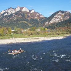
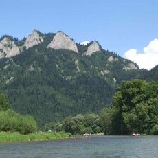
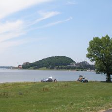
The Poprad River flows through the western part of the region and is one of few European rivers draining into the Baltic Sea. This unusual route means the waters eventually reach far northern seas.
Location: Slovakia
Inception: July 24, 1996
Capital city: Prešov
Elevation above the sea: 428 m
Reference: SK041
Part of: Eastern Slovakia
Shares border with: Zakarpattia Oblast, Banská Bystrica Region, Žilina region, Košice Region, Lesser Poland Voivodeship, Subcarpathian Voivodeship
Website: https://psk.sk
GPS coordinates: 48.58160,20.05161
Latest update: December 20, 2025 15:06
Rysy
66.6 km
Morskie Oko
68.5 km
Orla Perć
70.9 km
Giewont
75 km
Tatra National Park
74.9 km
Lake Solina
196.3 km
High Tatras
65.4 km
Gerlachovský štít
65.1 km
Wielka Krokiew
77.9 km
Trzy Korony
96.4 km
Kasprowy Wierch
72.6 km
Pieniny National Park
95.8 km
Lake Czorsztyn
96.8 km
Giewont Cross
75 km
Czorsztyn Castle
96.9 km
Świnica
71.1 km
Jaskinia Wielka Śnieżna
73.9 km
Spiš Castle
70.3 km
Gubałówka
81 km
Siklawa
70.4 km
Terma Bania
89.8 km
Pęksowy Brzyzek National Cemetery in Zakopane
80 km
Lomnický štít
69.3 km
Gęsia Szyja
75.4 km
Połonina Wetlińska
192.7 km
Sokolica
97.3 km
Kozi Wierch
70.9 km
Zemplínska šírava
147.6 kmVisited this place? Tap the stars to rate it and share your experience / photos with the community! Try now! You can cancel it anytime.
Discover hidden gems everywhere you go!
From secret cafés to breathtaking viewpoints, skip the crowded tourist spots and find places that match your style. Our app makes it easy with voice search, smart filtering, route optimization, and insider tips from travelers worldwide. Download now for the complete mobile experience.
A unique approach to discovering new places❞
— Le Figaro
All the places worth exploring❞
— France Info
A tailor-made excursion in just a few clicks❞
— 20 Minutes