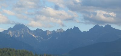
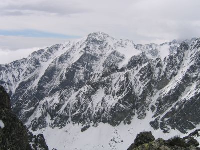
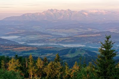
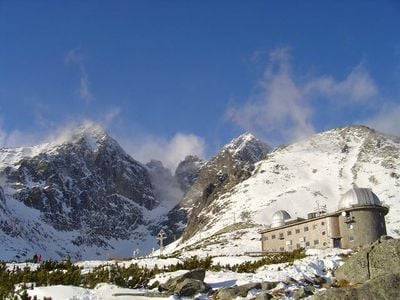
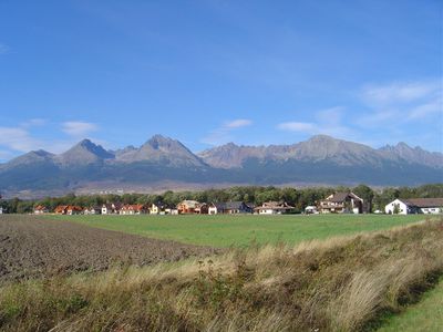
High Tatras, Mountain range at Slovakia and Poland border.
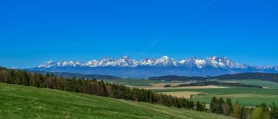
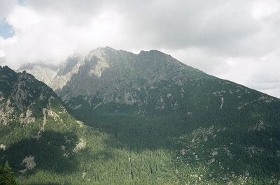
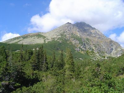
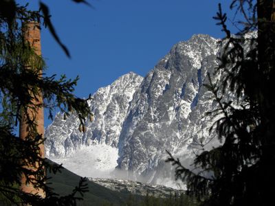
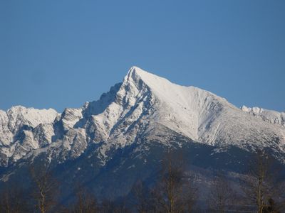
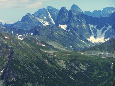
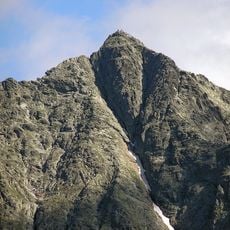
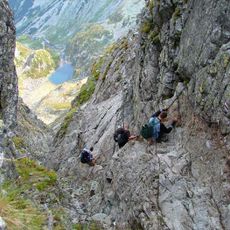
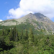
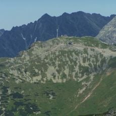
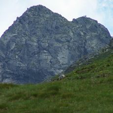
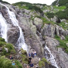
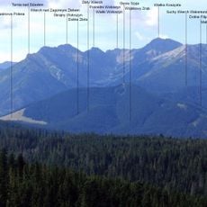
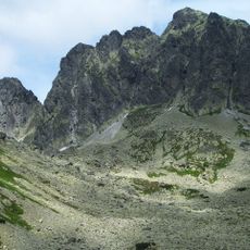
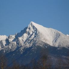
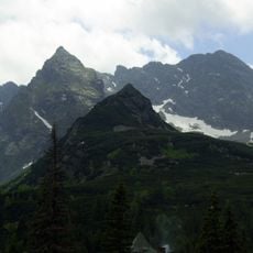
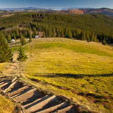
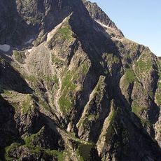
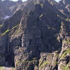
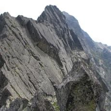
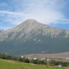
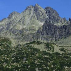
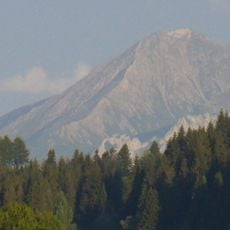
The High Tatras are a mountain range at the border between Slovakia and Poland with around three hundred measured peaks and numerous valleys. The chain stretches roughly 64 kilometers (40 miles) and forms the highest part of the entire Carpathians with steep rock faces and glacial lakes.
The name Tatras first appeared in 999 in written records when Bohemian Duke Boleslaus II mentioned them as Tritri montes in official documents. During the 18th century, naturalists and mountaineers began exploring and mapping the peaks systematically.
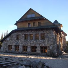
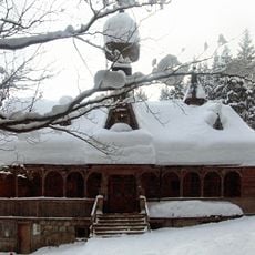
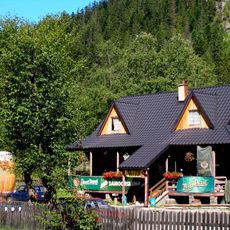
The Górale live in villages along the slopes and maintain their own dialect, traditional dress, and wooden building style. Travelers see timber cottages with steep roofs, hear shepherd music, and taste smoked sheep cheese from local production.
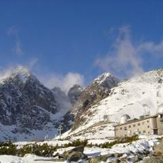
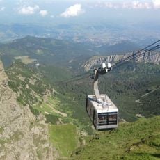
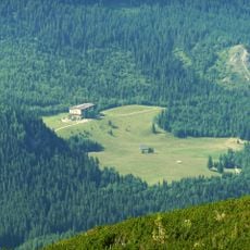
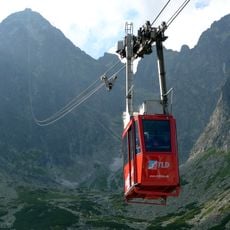
Several ski resorts in Štrbské Pleso, Starý Smokovec, and Tatranská Lomnica on the Slovak side, as well as Zakopane on the Polish side, offer access to hiking trails and ski areas. Mountain guides are available in all major villages and most trails are snow-free from June to September.
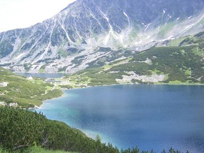
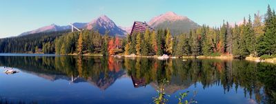
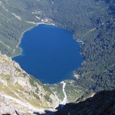
Morskie Oko is the largest alpine lake in the range at 1,395 meters (4,577 feet) elevation, surrounded by peaks rising roughly 1,000 meters (3,280 feet) above it. The name means Sea Eye in Polish and refers to the deep blue color and oval shape of the water.
The community of curious travelers
AroundUs brings together thousands of curated places, local tips, and hidden gems, enriched daily by 60,000 contributors worldwide.