Enable Location

We need your location to show you interesting places around you

Discover nearby places

Find interesting locations and hidden gems around you

Precise directions

Get accurate directions and distances to places

Your location is never shared with other users. It's only used when you tap the location button.

Kasprowy Wierch

Log in to your account

Start exploring — it's free

Trusted by 60,651 travelers worldwide

Continue with Google
Continue with Apple
or

We will send you a code to connect

By continuing, you accept our Terms and Conditions and our Privacy Policy

Check your inbox

We've sent a pincode in your inbox. Please enter the code below.

Kasprowy Wierch

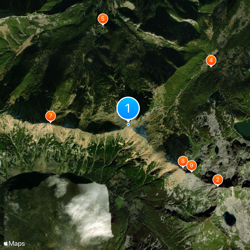
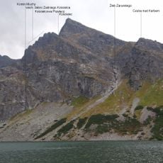
Kasprowy Wierch, Mountain summit in Tatra County, Poland.

Description

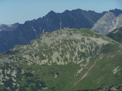
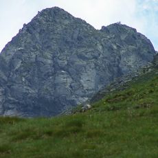
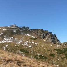
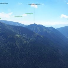
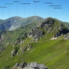
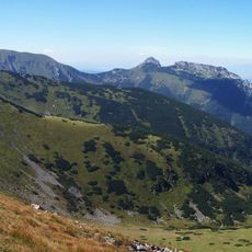
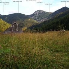
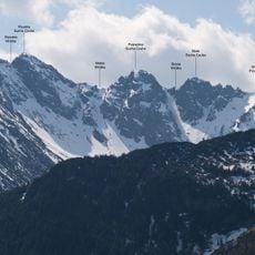
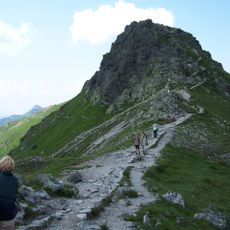
Kasprowy Wierch is a summit at 1,987 meters elevation on the Polish-Slovak border in the Western Tatras. Four ridges meet here and create an exposed platform with views into valleys on both sides of the frontier.

History

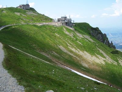
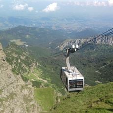
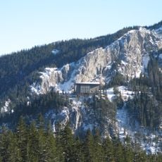
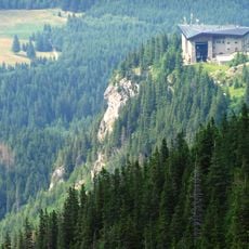
The cable car to the summit opened in 1936 and was at that time the longest pendulum cable car in the world. Construction took two years and enabled easy access to this elevation in winter for the first time.

Culture

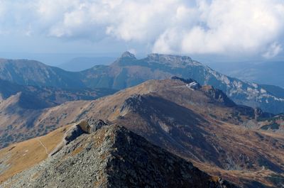
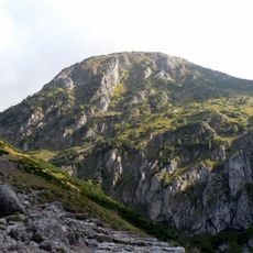
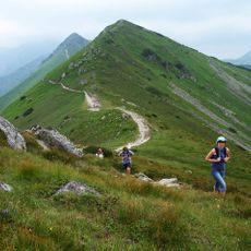
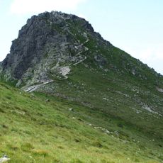
The name comes from Slovak shepherds who once grazed their sheep on the mountain meadows and named the area after the white limestone rock. Today the summit serves as a popular starting point for hikers who descend into different valleys from here or continue along the ridge crests.

Practical

The cable car brings visitors to the summit in two sections, with a midway station halfway up. Hiking trails also lead to the top, but require several hours of ascent and adequate fitness.

Did you know?

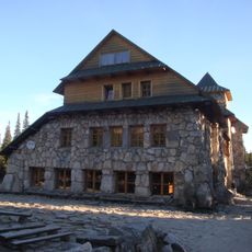
A weather station on the summit has recorded measurements for decades and helped research rare cloud formations. The station still operates today and provides weather data for the region.

Location
Location
Elevation above the sea
1,987 m
Address
Kasprowy Wierch
GPS coordinates
49.23180,19.98156
Latest update
January 6, 2026 13:45

AroundUs brings together thousands of curated places, local tips, and hidden gems, enriched daily by 60,000 contributors worldwide. Discover all places nearby (Zakopane).

Little Poland and the Carpathians: medieval castles, salt mines and historic towns

The south of Poland stretches between Krakow and the Carpathians. There are medieval castles on cliffs, salt mines that became real underground towns since the 13th century, and wooden churches protected by UNESCO. The national parks have trails through gorges and beech forests. The thermal baths...

« Kasprowy Wierch - Mountain summit in Tatra County, Poland » is provided by Around Us (aroundus.com). Images and texts are derived from Wikimedia project under a Creative Commons license. You are allowed to copy, distribute, and modify copies of this page, under the conditions set by the license, as long as this note is clearly visible.

Discover hidden gems everywhere you go!

From secret cafés to breathtaking viewpoints, skip the crowded tourist spots and find places that match your style. Our app makes it easy with voice search, smart filtering, route optimization, and insider tips from travelers worldwide. Download now for the complete mobile experience.

Around Us App Screenshot

A unique approach to discovering new places

Le Figaro

All the places worth exploring

France Info

A tailor-made excursion in just a few clicks

20 Minutes

Around Us
Travel Guide & Maps
Download

Send to your phone

QR Code
1

Open the camera app on your mobile.

2

Point at the QR code with your camera. A notification will appear.

3

Tap the notification to open the link.