Pośredni Wierch Goryczkowy, Mountain peak in Western Tatras, Slovakia.
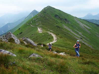
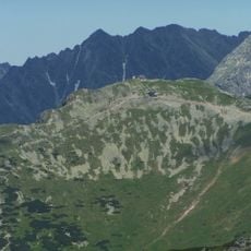
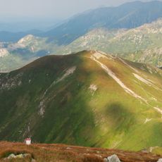
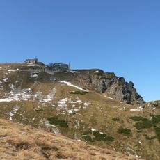
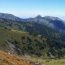
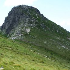
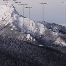
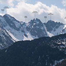
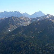
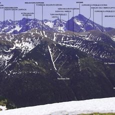
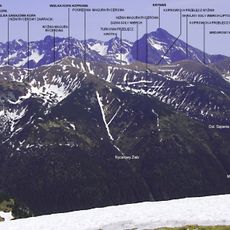
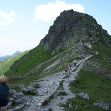
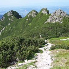
Pośredni Goryczkowy Wierch is a summit in the Western Tatras standing at 1,874 meters high and situated along the main ridge of this mountain range. The peak forms part of the central section of the range with defined terrain features on all sides.
The Western Tatras began attracting mountaineers and researchers from the early 20th century onward, who documented and studied these high peaks. Their work helped establish the region as an important area for alpine research and understanding mountain ecosystems.
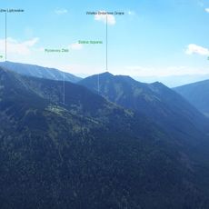
The summit carries a Polish name despite sitting on the border between Poland and Slovakia, serving as a meeting point for mountaineers from both countries. This linguistic and geographical position reflects the shared climbing heritage of the Western Tatras.
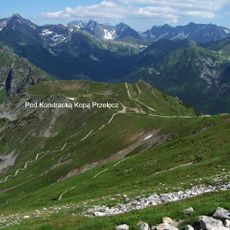
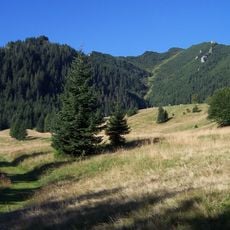
The best time to climb is from June to August when weather conditions are most favorable and snow cover is minimal on the established trails. Visitors should come prepared for rapidly changing weather conditions that are typical at this elevation.
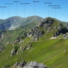
The summit is accessed by two distinct climbing routes that intersect at this point, each offering different views and approaches to the peak. This makes it a notable junction where multiple paths converge along the ridge.
The community of curious travelers
AroundUs brings together thousands of curated places, local tips, and hidden gems, enriched daily by 60,000 contributors worldwide.