Kasprowy Wierch Cableway, Cable car system in Zakopane, Poland.
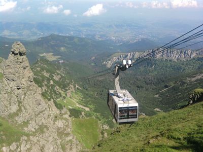
Kasprowy Wierch Cableway is an aerial transport system that rises from the Kuźnice base station to the summit using two separate cable tramways. The installation spans more than 4,200 meters of mountainous terrain and connects different elevations of the peak.
Construction began in 1935 and was completed in just seven months, opening in March 1936. This ambitious project marked a major engineering achievement for accessing the Tatra mountains.
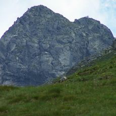
The cableway serves as a gathering place where both skiers and hikers meet to experience the mountain across all seasons. Locals and visitors use it as a natural meeting point for exploring the higher peaks together.
The journey to the upper station takes about ten minutes, with each cabin accommodating up to 60 passengers. Sturdy footwear is recommended, and be prepared for weather conditions that can change rapidly at higher elevations.
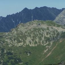
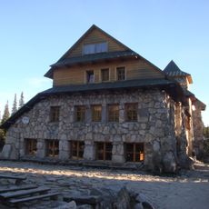
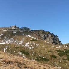
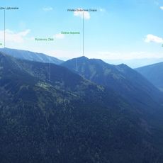
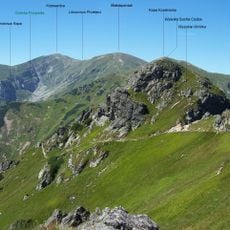
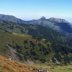
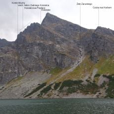
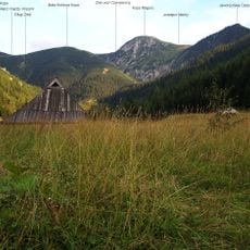
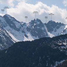
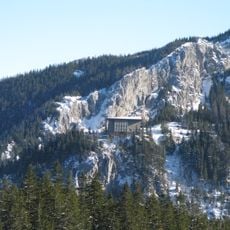
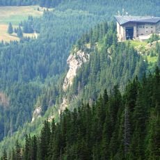
At the upper station sits Poland's highest meteorological observatory, which collects weather data while offering views across the High and West Tatra ranges. The location demonstrates how scientific work is conducted in extreme conditions and allows visitors to see both mountain chains from one spot.
The community of curious travelers
AroundUs brings together thousands of curated places, local tips, and hidden gems, enriched daily by 60,000 contributors worldwide.