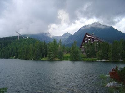
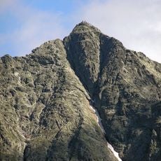
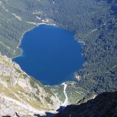
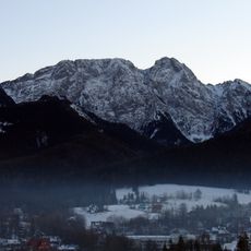
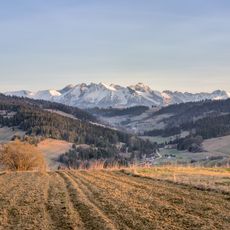
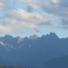
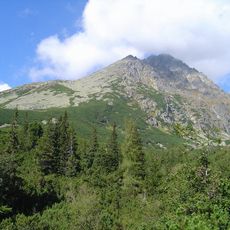
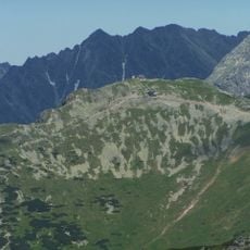
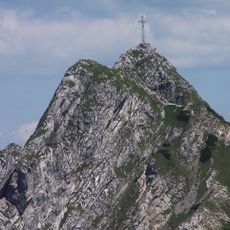
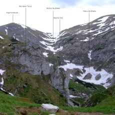
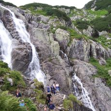
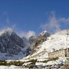
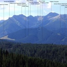
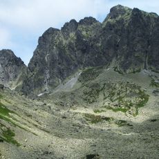
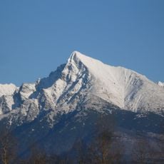
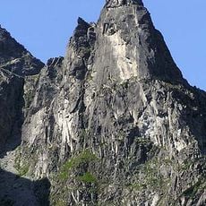
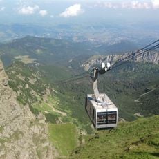
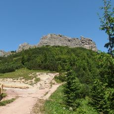
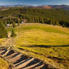
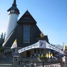
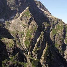
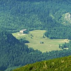
Vysoké Tatry, town in Slovakia
Location: Poprad District
Inception: 1209
Elevation above the sea: 966 m
Shares border with: Tatranská Javorina, Gerlachov
Email: msuvt@tatry.sk
Website: https://vysoketatry.sk
GPS coordinates: 49.14194,20.22306
Latest update: March 11, 2025 22:23
Rysy
10.6 km
Morskie Oko
12.7 km
Orla Perć
16.5 km
Giewont
24.3 km
Tatra National Park
24.3 km
High Tatras
7.1 km
Gerlachovský štít
6.9 km
Kasprowy Wierch
20.2 km
Giewont Cross
24.3 km
Świnica
17.8 km
Jaskinia Wielka Śnieżna
24.4 km
Siklawa
15.3 km
Lomnický štít
6 km
Gęsia Szyja
16.8 km
Kozi Wierch
16.5 km
Kriváň
16.4 km
Kościelec
17.8 km
Nosal
22.6 km
Mnich
13.5 km
Kasprowy Wierch Cableway
20.2 km
Tatra National Park
22.5 km
Sarnia Skała
24.7 km
Rusinowa Polana
16.4 km
Wodogrzmoty Mickiewicza
14.2 km
Muttergottes von Fatima
27 km
Hrubý štít
14.7 km
Große Mengsdorfer Spitze
12.9 km
Kalatówki
22.7 kmReviews
Visited this place? Tap the stars to rate it and share your experience / photos with the community! Try now! You can cancel it anytime.
Discover hidden gems everywhere you go!
From secret cafés to breathtaking viewpoints, skip the crowded tourist spots and find places that match your style. Our app makes it easy with voice search, smart filtering, route optimization, and insider tips from travelers worldwide. Download now for the complete mobile experience.
A unique approach to discovering new places❞
— Le Figaro
All the places worth exploring❞
— France Info
A tailor-made excursion in just a few clicks❞
— 20 Minutes