Enable Location

We need your location to show you interesting places around you

Discover nearby places

Find interesting locations and hidden gems around you

Precise directions

Get accurate directions and distances to places

Your location is never shared with other users. It's only used when you tap the location button.

Gerlachovský štít

Log in to your account

Start exploring — it's free

Trusted by 62,067 travelers worldwide

Continue with Google
Continue with Apple
or

We will send you a code to connect

By continuing, you accept our Terms and Conditions and our Privacy Policy

Check your inbox

We've sent a pincode in your inbox. Please enter the code below.

Gerlachovský štít

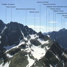
Gerlachovský štít, Mountain summit in Vysoké Tatry, Slovakia

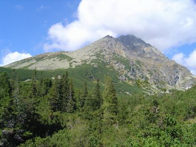
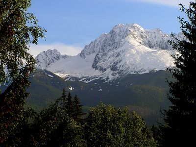
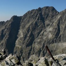
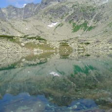
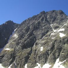
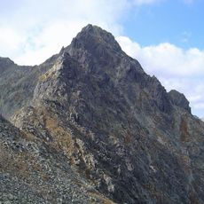
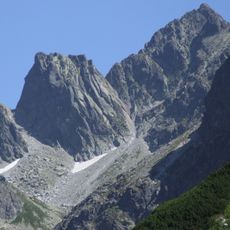
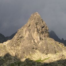
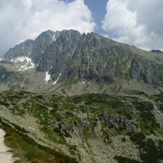
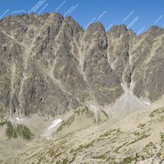
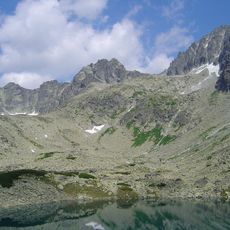
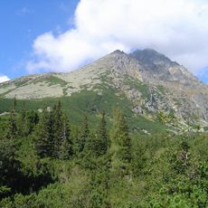
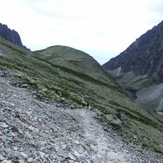
Gerlachovský štít is the highest summit of the Carpathian range and rises as a powerful granite tower at the heart of the High Tatras to 2654 meters (8707 feet). The northern and southern walls drop sharply, while eastern and western flanks spread over scree fields and rock ridges.

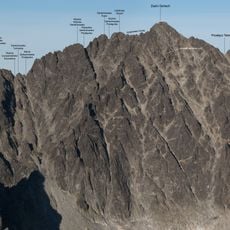
Johann Still led the first successful ascent in 1834, which opened the era of organized mountaineering in the Tatras. New climbing routes emerged in the late 19th century that still form classic approaches today.

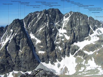
The name stems from Gerlachov, a small settlement at the foot of the range that traditionally served as the starting point for ascents. Slovak climbers regard the face as their highest alpine test, making it a symbol of national mountaineering traditions.

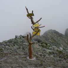
Access requires membership in a recognized mountaineering club and authorization from Slovak authorities. Ascent routes like Martinovka or Krčmárov žľab are technically demanding and should only be attempted with experienced mountain guides.

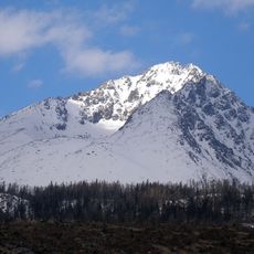
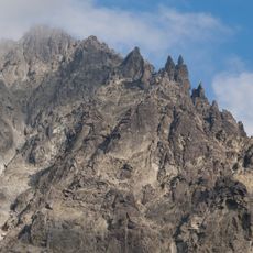
Snowfields hold on the sheltered northern slopes all year round, even during hot summer months. These permanent snow packages influence climbing techniques and make different equipment necessary depending on the season.

The community of curious travelers

AroundUs brings together thousands of curated places, local tips, and hidden gems, enriched daily by 60,000 contributors worldwide.

Start exploring
Location
Location
Elevation above the sea
2,654.4 m
Made from material
granite
GPS coordinates
49.16403,20.13406
Latest update
December 13, 2025 15:29
« Gerlachovský štít - Mountain summit in Vysoké Tatry, Slovakia » is provided by Around Us (aroundus.com). Images and texts are derived from Wikimedia project under a Creative Commons license. You are allowed to copy, distribute, and modify copies of this page, under the conditions set by the license, as long as this note is clearly visible.

Discover hidden gems everywhere you go!

From secret cafés to breathtaking viewpoints, skip the crowded tourist spots and find places that match your style. Our app makes it easy with voice search, smart filtering, route optimization, and insider tips from travelers worldwide. Download now for the complete mobile experience.

Around Us App Screenshot

A unique approach to discovering new places

Le Figaro

All the places worth exploring

France Info

A tailor-made excursion in just a few clicks

20 Minutes

Around Us
Travel Guide & Maps
Download

Send to your phone

QR Code
1

Open the camera app on your mobile.

2

Point at the QR code with your camera. A notification will appear.

3

Tap the notification to open the link.