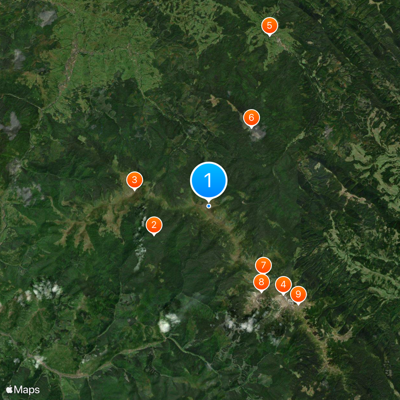
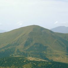
Hoverla, Mountain summit in Western Ukraine.
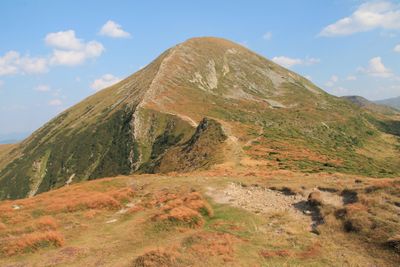
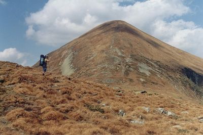
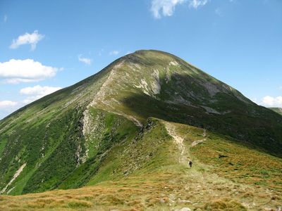
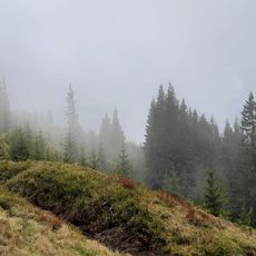
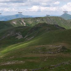
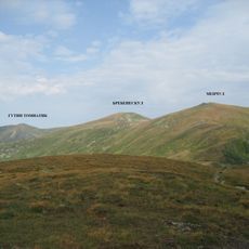
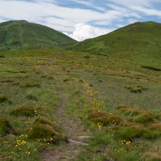
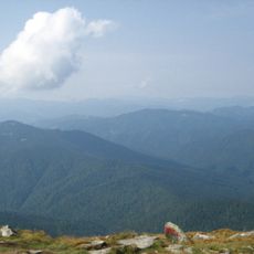
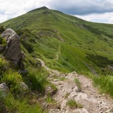
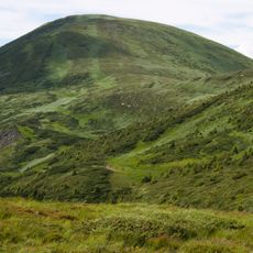
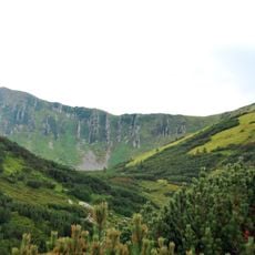
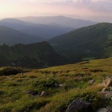
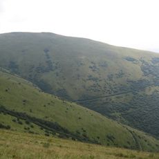
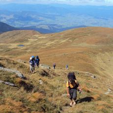
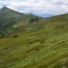
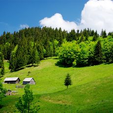
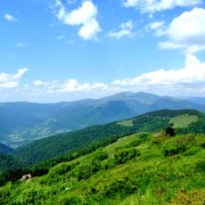
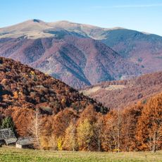
Hoverla is the highest mountain in the Ukrainian Carpathians and reaches an elevation of 2061 meters, located on the border between Ivano-Frankivsk and Zakarpattia oblasts. The upper sections of the mountain are treeless and covered with alpine meadows, while the lower slopes feature dense forests of spruce and beech.
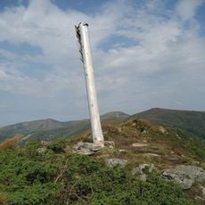
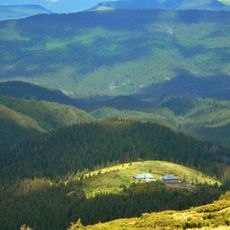
In 1880 Leopold Wajgel marked the first tourist path between the summit and the village of Krasny Luh, enabling organized hiking. In the following decades simple mountain shelters were built to provide refuge for climbers during changing weather.
The summit takes its name from a Romanian word for conifers, recalling the centuries of cultural exchange among the peoples of this region. Hikers often encounter small memorial stones and markers left by visitors from different countries.
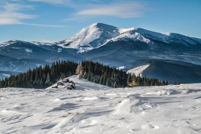
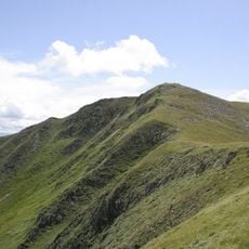
Most hikers begin the three-hour ascent between May and September when snow and ice do not block the trails. Weather conditions can shift quickly, so warm clothing should be brought even on warm days.
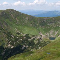
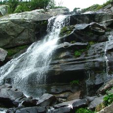
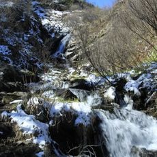
On the eastern side the Prut River begins, a waterway that flows through Romania and Moldova before joining the Danube. This source sits at around 1900 meters elevation and is often surrounded by hikers watching the clear water emerge from the rock.
The community of curious travelers
AroundUs brings together thousands of curated places, local tips, and hidden gems, enriched daily by 60,000 contributors worldwide.