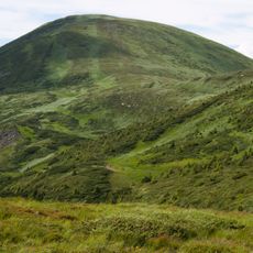
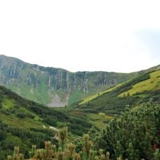
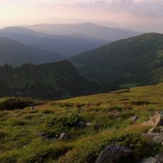
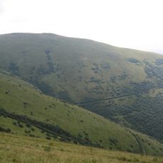
Rebra, Mountain summit in Chornohora, Ukraine
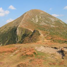
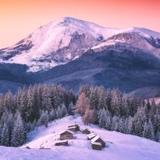
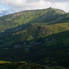
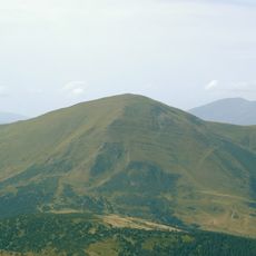
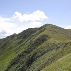
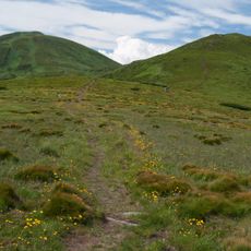
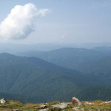
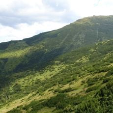
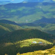
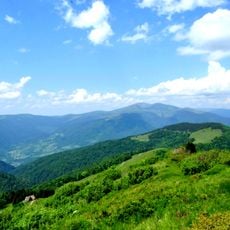
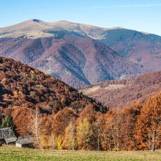
Rebra is a summit in the Chornohora range standing at about 2,000 meters high. Its slopes are steep and the top opens onto expansive meadows that frame views across the Carpathian mountains.
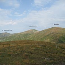
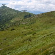
Rebra lies on the boundary between Ivano-Frankivsk and Zakarpattia oblasts, a line that follows the Chornohora crest. The summit stands between Turkul to the northwest, Brebeneskul to the southeast and Hutyn Tomnatyk to the south. The nearest settlement is Bystrets.
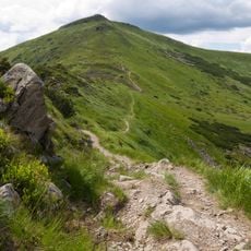
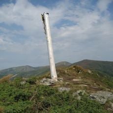
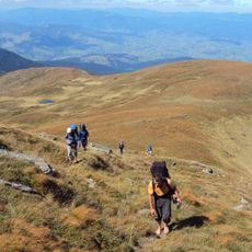
Rebra lies on the boundary between Ivano-Frankivsk and Zakarpattia oblasts, and hikers cross it on marked routes: a red-marked path from Brebeneskul takes about an hour, while the green-marked route from Bystrets passes the ruins of the Maryshevska shelter and the Shpytsi peak to a post marked "Pid Rebra" at 1,930 m. The nearest village is Bystrets.
The peak is reached by marked trails from either side in roughly six hours of walking. The route demands good stamina and proper mountain gear.
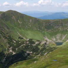
Rebra is Ukraine's sixth-highest peak at 2,001.1 m, not the fifth. Just east of the summit, in the wide glacial cirque of Gadzhyna, lie small high-mountain lakes that hikers often pass without noticing.
The community of curious travelers
AroundUs brings together thousands of curated places, local tips, and hidden gems, enriched daily by 94,712 contributors worldwide.