Hora Stih, Mountain summit on the Ukraine–Romania border, Maramureș
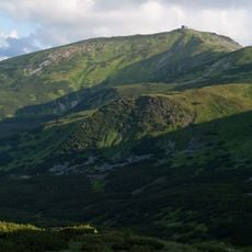
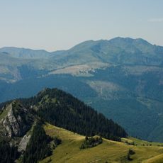
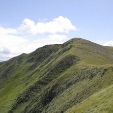
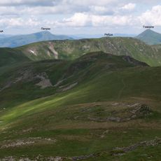
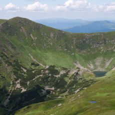
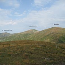
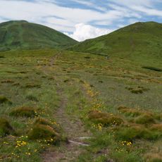
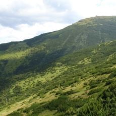
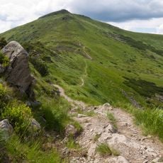
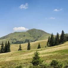
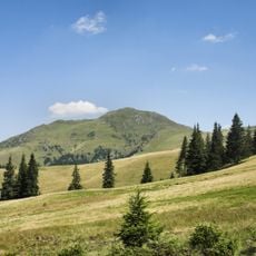
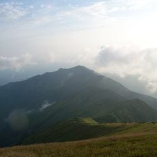
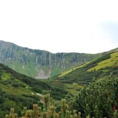
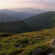
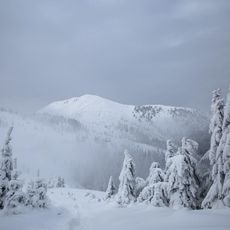
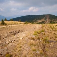
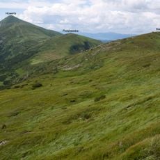
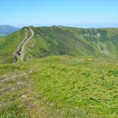
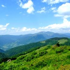
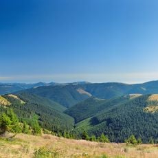
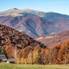
Stóg is a 1,653 m summit in the Czywczyn Mountains of the Eastern Carpathians, on the Ukrainian-Romanian border. Its upper slopes are rounded and covered with grass and shrubs, with patches of dwarf pine and Siberian juniper. To the west it is separated from Pop Ivan by the Szybeńska Pass, and the ridge north of it leads over Shchavnyk (1,378 m) and Vykhid (1,471 m).
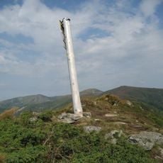
Until 1772 the summit marked the border between the Kingdom of Poland and the Kingdom of Hungary. Before World War II it was the tripoint of Poland, Czechoslovakia and Romania; the granite boundary pillar I/1, known as "Tripleks", still stands on top, bearing three partly legible coats of arms and the dates 1920 (CS-R) and 1923 (P). From 1939 a Polish-Hungarian and Polish-Romanian tripoint existed here until 28 September 1939, formally until 31 December 1945.
The summit's name appears in four languages: Stóg in Polish, Stih in Ukrainian, Stogu in Romanian and Asztag in Hungarian. The granite border post on top, nicknamed "Tripleks", carries three coats of arms and the dates 1920 and 1923, marking where the Polish, Czechoslovak and Romanian frontiers met before the Second World War.
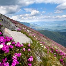
The summit lies on the Ukrainian-Romanian border, so carry your passport; the approach from Ukraine runs past Shchavnyk (1378 m) and Vykhid (1471 m) toward Pop Ivan Chornohorskyi (2028 m). The upper slopes are smoothed and covered with grass, dwarf pine and Siberian juniper, so wear boots and watch for the protected Rhododendron east-Carpathian and white hellebore.
On the summit stands boundary marker I/1, a granite cylinder known as "Tripleks", carved with three coats of arms and the dates 1920 (CS-R) and 1923 (P). It marks the point where the borders of Poland, Czechoslovakia and Romania met before World War II.
The community of curious travelers
AroundUs brings together thousands of curated places, local tips, and hidden gems, enriched daily by 93,891 contributors worldwide.