Hutyn Tomnatyk, Mountain peak in Chornohora, Ukraine.
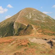
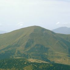
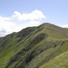
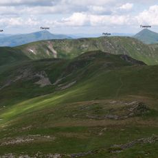
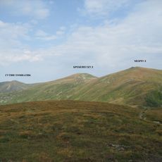
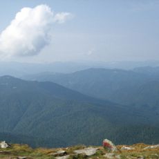
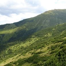
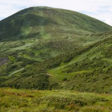
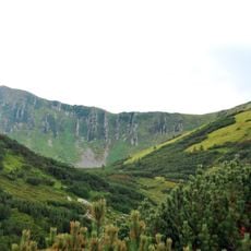
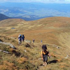
Hutyn Tomnatyk is a mountain summit in the Carpathians that rises to 2,016 meters above sea level. Its steep ridges and rocky peak stand out clearly when viewed from the surrounding valleys.
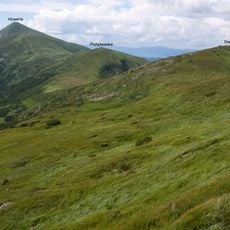
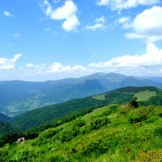
The mountain was shaped by glacial activity during the last ice age, which sculpted the Carpathian landscape as it appears today. These ancient forces created the rocky ridges and valleys that define the region.
Local communities maintain traditional shepherding practices on the mountain slopes, continuing centuries-old customs of the Hutsul mountain people.
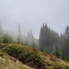
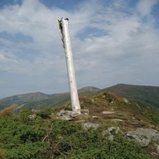
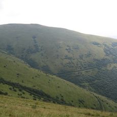
Visitors should bring sturdy hiking boots and weatherproof clothing, as mountain conditions can change quickly. The marked trails are reasonably clear and can be followed from the starting points below.
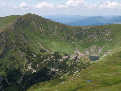
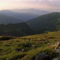
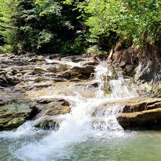
On the northern-eastern slopes sits Lake Brebeneskul, one of the highest alpine lakes in Ukraine. This body of water is a rare find at this altitude and appeals to hikers seeking water in an otherwise barren alpine setting.
The community of curious travelers
AroundUs brings together thousands of curated places, local tips, and hidden gems, enriched daily by 60,000 contributors worldwide.