Brebeneskul, Mountain summit in Zakarpattia Oblast, Ukraine
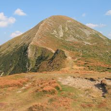
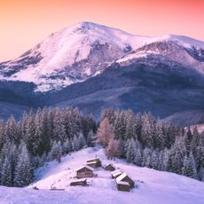
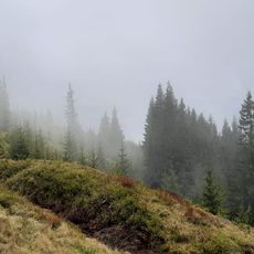
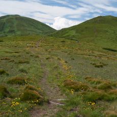
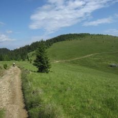
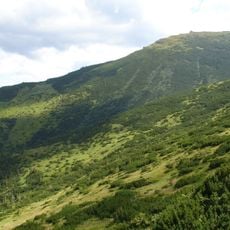
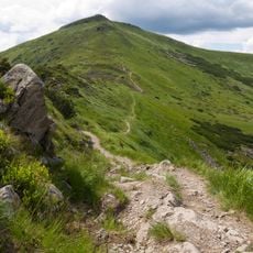
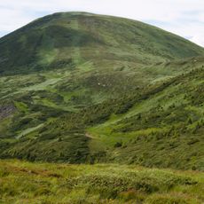
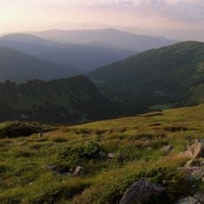
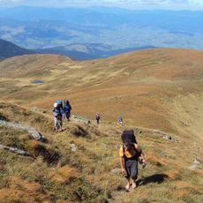
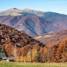
Brebeneskul is a mountain summit in the Ukrainian Carpathians rising to 2038 meters, making it the second highest peak in the country. The peak is accessible by several marked hiking trails that connect from different starting points and wind through the surrounding terrain.
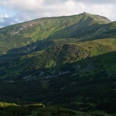
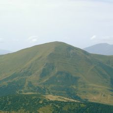
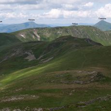
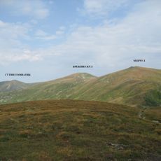
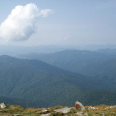
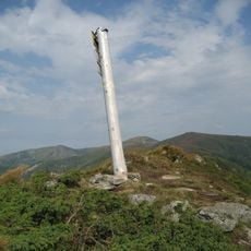
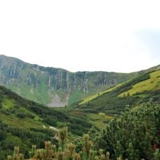
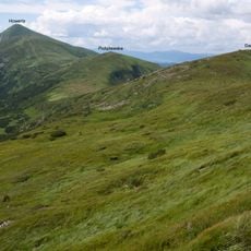
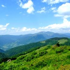
Brebeneskul lies on the main Chornohora ridge, on the border of Ivano-Frankivsk and Zakarpattia oblasts, between Menchul (1998 m) to the southeast and Rebra (2001 m) to the northwest. Its dome-shaped summit reaches 2038 m, though sources also give 2032 or 2035 m. The slopes carry ancient glacial landforms and traces of frost weathering, with stone fields and scree.
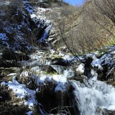
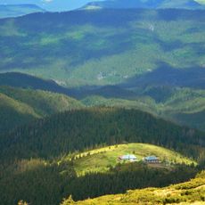
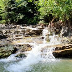
The peak lies on the boundary between Ivano-Frankivsk and Zakarpattia oblasts, between Menchul (1998 m) and Rebra (2001 m). The nearest settlement is Bystrets in Ivano-Frankivsk Oblast. The summit's name is shared with the Brebeneskul River, which flows from the lake of the same name west of the peak.
The mountain is best visited between June and September when weather conditions are stable and snow has melted. Sturdy hiking boots and weather-resistant clothing are important since conditions can change quickly at this elevation.
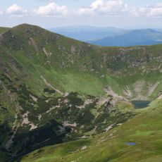
West of the summit lies Lake Brebeneskul, the highest lake in Ukraine, and the Brebeneskul River flows out of it. The summit itself is a rounded dome between Menchul (1998 m) and Rebra (2001 m), on the border of Ivano-Frankivsk and Zakarpattia oblasts.
The community of curious travelers
AroundUs brings together thousands of curated places, local tips, and hidden gems, enriched daily by 94,712 contributors worldwide.