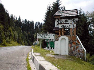
Zakarpattia Oblast, Administrative region in southwestern Ukraine.
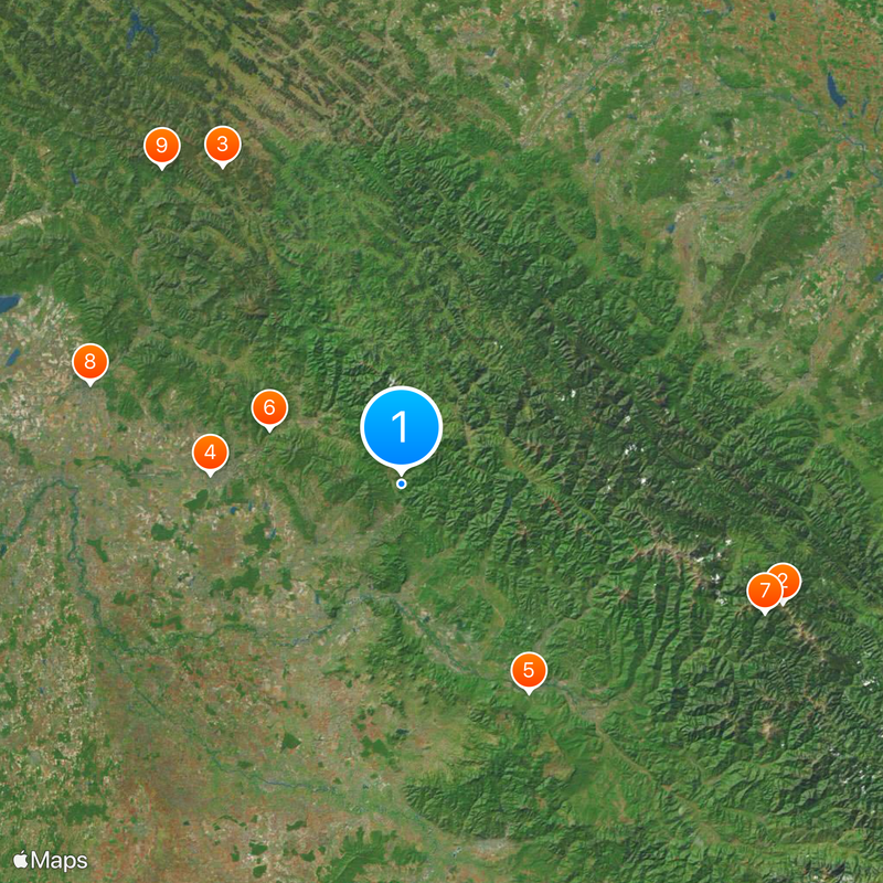
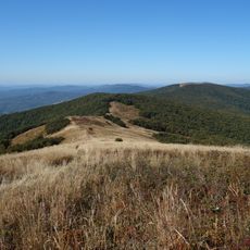
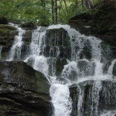
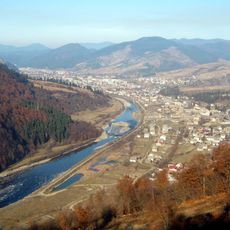
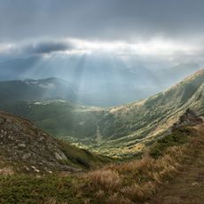
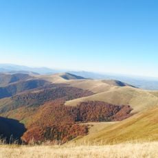
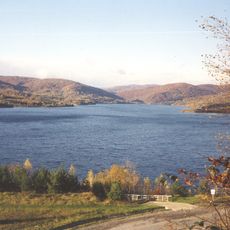
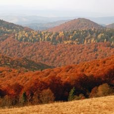
Zakarpattia Oblast is an administrative division in southwestern Ukraine that stretches across several valleys and forested slopes. The area is crossed by the Tisza River and its tributaries that flow between the hills and link small towns and scattered villages together.
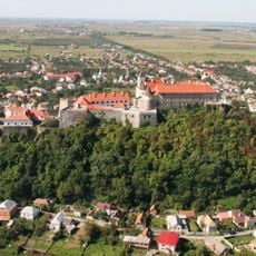
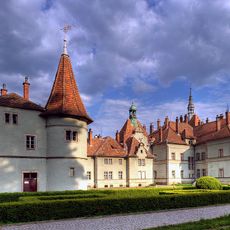
Until the end of the First World War this territory belonged to the Austro-Hungarian Monarchy and afterwards became part of the newly formed Czechoslovakia. After several border changes it joined the Soviet Union in 1946 and has remained within Ukraine ever since.
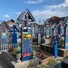
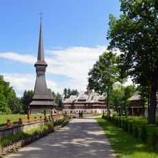
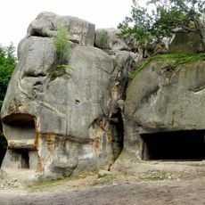
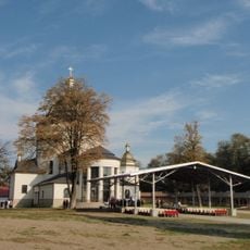
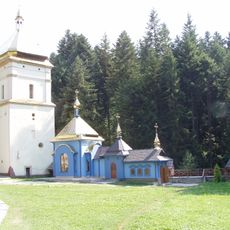
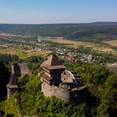
The name Transcarpathia refers to the region lying beyond the Carpathian range and reflects centuries of separation from the rest of the Ukrainian lands. Today this shows in the wooden churches found across villages and the community festivals held throughout the year that visitors can witness firsthand.
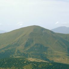
Many settlements sit on winding roads that curve through woodland and follow river courses. Visitors should allow time for moving between valleys as journeys often take longer than the distance might suggest.
In some villages people still speak dialects that developed hundreds of years ago in this region and are not found elsewhere in Ukraine. These local forms contain words borrowed from neighboring languages and are often hard to understand for speakers from other Ukrainian regions.
The community of curious travelers
AroundUs brings together thousands of curated places, local tips, and hidden gems, enriched daily by 60,000 contributors worldwide.