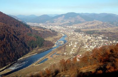
Mizhhirya, Administrative settlement in Khust Raion, Ukraine.
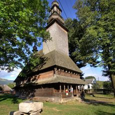
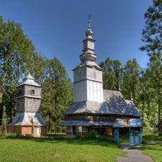
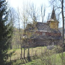
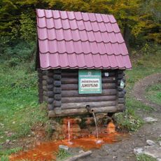
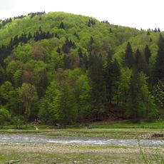
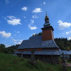
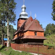
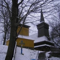
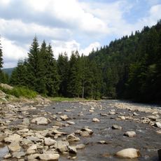
Mizhhirya is an urban-type settlement in Zakarpattia, a region in western Ukraine nestled in mountainous terrain. It functions as the administrative center for the Mizhhirya Hromada, with public facilities and government buildings that serve the surrounding communities.
The settlement was first recorded in 1415 and remained under Hungarian feudal rule during medieval times. It stayed part of the Hungarian sphere of influence until the end of World War I in 1918.
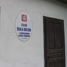
The settlement changed names through different periods, from Ökörmező under Hungarian rule to Volove during Czechoslovak administration, before receiving its current name in 1953.
Visitors will find the main administrative offices and local services that support the community here. The area offers access to basic amenities and is easily navigable on foot.
The settlement underwent an administrative reclassification in 2024, transitioning from an urban to a rural classification. This change reflected new Ukrainian legislation that reshaped the administrative structure of many communities.
Location: Khust Raion
Location: Mizhhirya Hromada
Elevation above the sea: 437 m
Website: http://w1.c1.rada.gov.ua/pls/z7502/A005?rdat1=29.06.2008&rf7571=11265
GPS coordinates: 48.52861,23.50194
Latest update: December 7, 2025 20:48
Borzhava Ridge
11.5 km
Synevyr National Nature Park
14.9 km
Vilshany Reservoir
19.5 km
Kamianka Waterfall (Synevyr)
11.5 km
Zhyd-Mahura
18.7 km
Kuk
8.4 km
Музей лісу і сплаву
13.5 km
Kolochava narrow gauge railway
19.2 km
Rudavets Waterfall
11.7 km
Nehrovec
16.1 km
Holy Spirit church in Kolochava
16.9 km
Church of Saint Nicholas, Izky
17 km
Saint Nicholas church, Rekity
18.5 km
Дуб звичайний
143 m
Kamianka Reserve
10 km
Spring №226 Natural Monument
11.6 km
Saint Demetrius of Thessaloniki Church in Repynne
7.2 km
Річанський заказник
13 km
Spring №1 Natural Monument
18.6 km
Omnozhanskyii Reserve
7.2 km
Saint Nicholas church, Pryslip
19.2 km
Nativity of Theotokos church in Pylypets
19.8 km
Church of the Presentation of Mary, Torun
15.8 km
Church of the Presentation of Mary
15.2 km
Saint Michael church, Nehrovets
14.5 km
Church of the Intercession, Synevyrska Poliana
15 km
Kantyna Reserve
13.6 km
Czech school
18.7 kmVisited this place? Tap the stars to rate it and share your experience / photos with the community! Try now! You can cancel it anytime.
Discover hidden gems everywhere you go!
From secret cafés to breathtaking viewpoints, skip the crowded tourist spots and find places that match your style. Our app makes it easy with voice search, smart filtering, route optimization, and insider tips from travelers worldwide. Download now for the complete mobile experience.
A unique approach to discovering new places❞
— Le Figaro
All the places worth exploring❞
— France Info
A tailor-made excursion in just a few clicks❞
— 20 Minutes