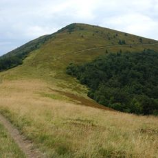
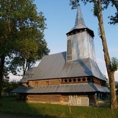
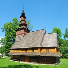
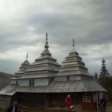
Zhyd-Mahura, Mountain summit in Zakarpattia Oblast, Ukraine.
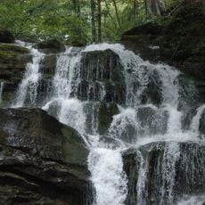
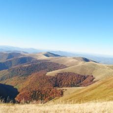
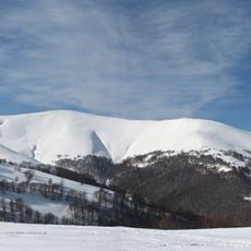
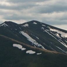
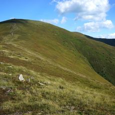
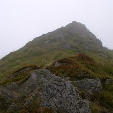
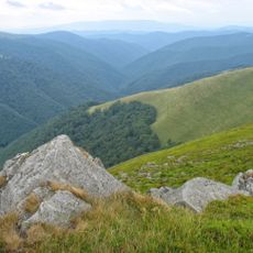
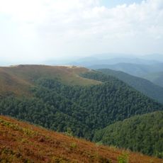
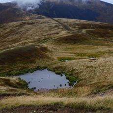
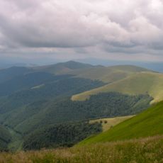
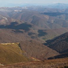
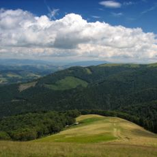
Zhyd-Mahura is a summit in the Borzhava range of Zakarpattia region, rising approximately 1517 meters above sea level. The mountain features steep slopes covered with alpine meadows and distinctive geological formations visible at its peak.
The summit has long served as a navigation landmark for communities living in and traveling through the Borzhava range. Its prominent position in the mountain chain made it an important reference point for people of the region across many centuries.
The mountain's name exists in several linguistic variations, reflecting the diverse heritage of the Carpathian region. These naming traditions show how different communities have referred to this summit across generations.
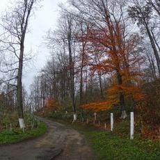
The summit can be reached via multiple hiking trails starting from various points throughout the Borzhava range. Visitors should be prepared for varying trail difficulty and conditions that may differ depending on the chosen starting point.
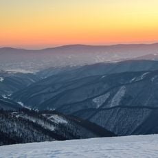
The peak offers clear views across the surrounding landscape that stretch far into the distance from the summit. Its isolated position within the range provides visitors with a distinctive perspective on the broader mountain system.
The community of curious travelers
AroundUs brings together thousands of curated places, local tips, and hidden gems, enriched daily by 60,000 contributors worldwide.