Stoj, Mountain summit in Zakarpattia Oblast, Ukraine.
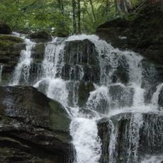
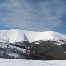
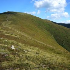
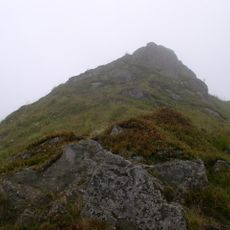
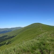
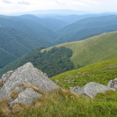
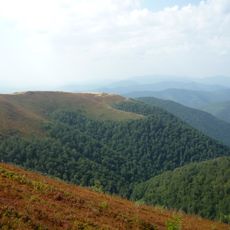
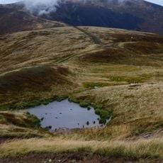
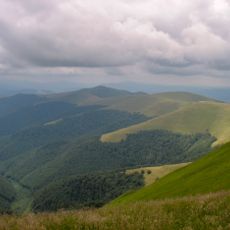
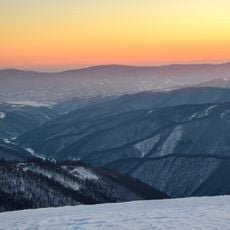
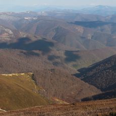
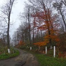
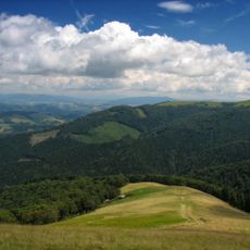
Stoj is the highest summit of the Polonyna Borzhava range, rising to 1,681 m on a southern spur of the massif in Zakarpattia Oblast. Its western slopes are steep, with beech old-growth forest and patches of blueberry; the southern and eastern slopes are gentler and covered with mountain meadows. The northern edge falls away in rocky cliffs, and a glacial cirque cuts into the northern flank.
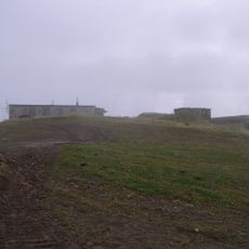
During the Soviet era a military radar station stood on the summit of Stoj; it was later dismantled. The mountain lies within Zakarpattia Oblast, which became part of the Ukrainian SSR in 1945 after the region was ceded by Czechoslovakia, and since 1991 has been in independent Ukraine.
The mountain lies in the Borzhava Polonyna, a high pasture ridge where sheep and cattle have long been grazed in summer. The name Stoj (also Stij, Stohy) is recorded in Ukrainian, Polish and Rusyn forms. The Rusyn form Стӯй reflects the local dialect of Zakarpattia.
The summit can be reached by hiking trails that start from nearby villages and pass through different landscape zones. Visitors should prepare for changing weather conditions and bring appropriate gear, as conditions at higher elevations can be more challenging.
The mountain forms a point where different ecological zones meet and various plant species grow alongside one another. This natural mixing of ecosystems creates unusual plant diversity that hikers encounter along the slopes.
The community of curious travelers
AroundUs brings together thousands of curated places, local tips, and hidden gems, enriched daily by 94,426 contributors worldwide.