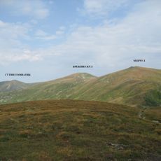
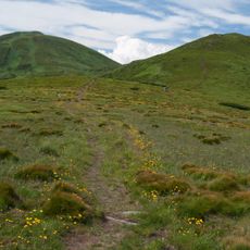
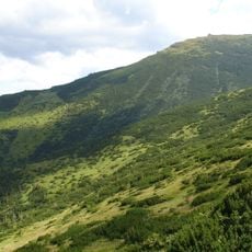
Chorna Hora, Mountain summit in Ivano-Frankivsk Oblast, Ukraine.
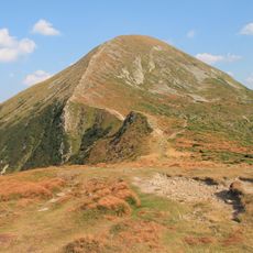
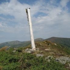
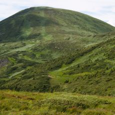
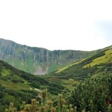
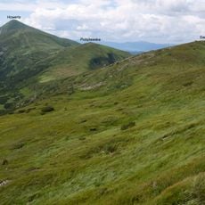
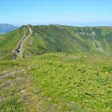
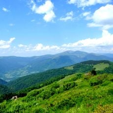
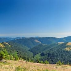
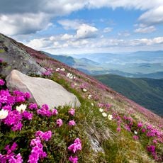
Chorna Hora is a massive pyramidal summit of sandstone reaching 2028.5 m at the southeastern end of the Chornohora range, on the border of Ivano-Frankivsk and Zakarpattia oblasts. Its upper part carries stone scree fields and old glacial landforms, covered mainly by subalpine vegetation. On the crest stands the low rectangular ruin of the former Polish observatory, known as Bilyi Slon.
In 1918–1939 the summit marked the Polish-Czechoslovak border. The Polish government built an astronomical and meteorological observatory there in 1936–1938, opened on 29 July 1938; Hutsuls from nearby villages did most of the construction, hauling 800 tonnes of materials up from Vorokhta. In 1939 the USSR set up a high-altitude geophysical observatory and weather station, which Hungarian troops turned into an observation post during the war and never reopened.
The name Chorna Hora, "Black Mountain", is linked to the dark colour of the summit and to pagan ideas of black as unclean or evil. A folk tale says the outlaw Dovbush defeated a devil, the "black misfortune", here. Hutsuls of the surrounding valleys also call the peak Popivan, after the wind that "popyvaye" (sings) on it.
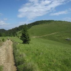
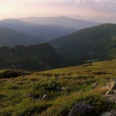
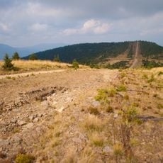
Multiple hiking trails lead to the summit from different starting points, with routes offering varying levels of difficulty. The best time to visit is from June through September when weather conditions are more stable.
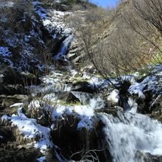
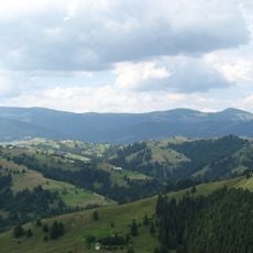
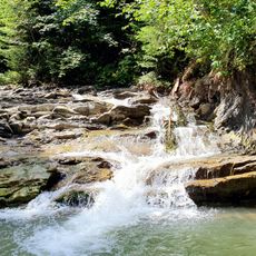
The summit marks a natural boundary between two regions and divides the drainage basins of major river systems. One of the source streams of the Prut River originates on its eastern slope.
The community of curious travelers
AroundUs brings together thousands of curated places, local tips, and hidden gems, enriched daily by 93,519 contributors worldwide.