
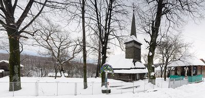
Lokit', village in Irshava Raion, Zakarpattia Oblast, Ukraine
Location: Khust Raion
Location: Іршавська міська громада
Elevation above the sea: 376 m
GPS coordinates: 48.42694,22.98472
Latest update: April 10, 2025 15:08
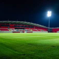
Várkert Sportpálya
70.1 km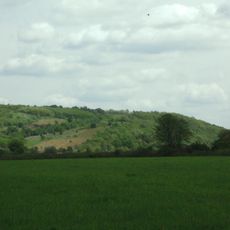
Koson
41.9 km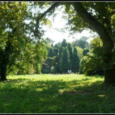
Cégénydányádi Kastélypark Természetvédelmi Terület
64.4 km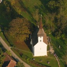
Reformed church in Csaroda
49.3 km
Kastelo de Kocsord
69.7 km
Zone de protection paysagère de Szatmár-Bereg
53 km
Büdy-vár
48.8 km
Szatmári Museum
72 km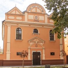
Synagogue, Mátészalka
71.6 km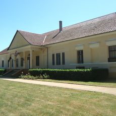
Károlyi Mansion, Beregsurány
43.5 km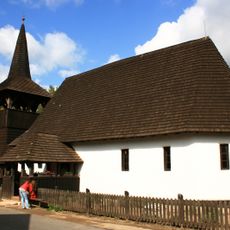
Reformed church in Tákos
51.1 km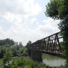
Вилоцький міст
38.5 km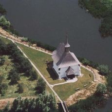
Reformed church
65.6 km
Garbolci-erdő Természetvédelmi Terület
52.1 km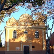
Synagogue Mátészalka
71.6 km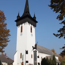
Reformed Church in Fehérgyarmat
63.3 km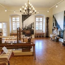
Beregi Museum
59.4 km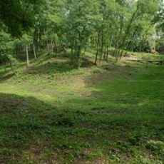
Bockereki-erdő
50.5 km
Túristvándi Rókás-legelő Természetvédelmi Terület
46.8 km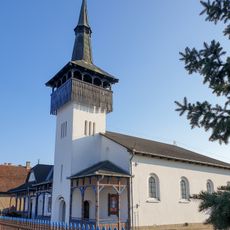
Unitarian church in Kocsord
70.4 km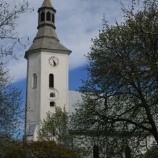
Református templom (Mátészalka)
72 km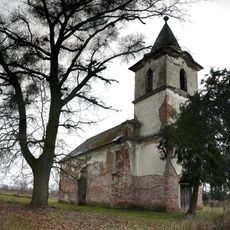
Reformed church (Nagygéc)
66.9 km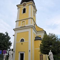
Saints Peter and Paul Church, Kisvárda
70.7 km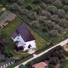
Református templom (Szamosújlak)
64.3 km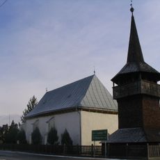
Kölcse temple
46.3 km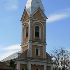
Szent József templom (Mátészalka)
72 km
Reformed Church in Zsurk
56.5 km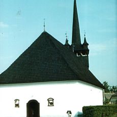
Reformed Church in Tiszacsécse
39.5 kmReviews
Visited this place? Tap the stars to rate it and share your experience / photos with the community! Try now! You can cancel it anytime.
Discover hidden gems everywhere you go!
From secret cafés to breathtaking viewpoints, skip the crowded tourist spots and find places that match your style. Our app makes it easy with voice search, smart filtering, route optimization, and insider tips from travelers worldwide. Download now for the complete mobile experience.

A unique approach to discovering new places❞
— Le Figaro
All the places worth exploring❞
— France Info
A tailor-made excursion in just a few clicks❞
— 20 Minutes