Enable Location

We need your location to show you interesting places around you

Discover nearby places

Find interesting locations and hidden gems around you

Precise directions

Get accurate directions and distances to places

Your location is never shared with other users. It's only used when you tap the location button.

Kamianske Reservoir

Log in to your account

Start exploring — it's free

Trusted by 62,120 travelers worldwide

Continue with Google
Continue with Apple
or

We will send you a code to connect

By continuing, you accept our Terms and Conditions and our Privacy Policy

Check your inbox

We've sent a pincode in your inbox. Please enter the code below.

Kamianske Reservoir

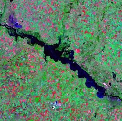
Kamianske Reservoir, reservoir

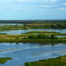
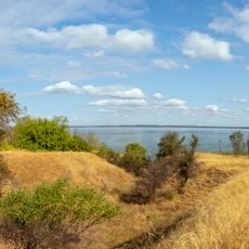
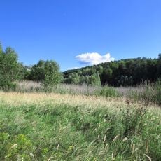
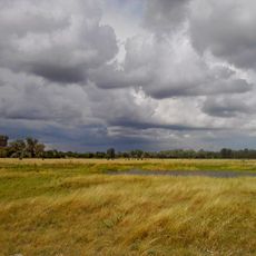
The Kamianske Reservoir is a large body of water on the lower Dnipro River, stretching about 114 kilometers with an average width of around 5 kilometers. The right bank features steep, cliff-like shores, while the left bank slopes gently toward the water, and the surface typically appears calm with only occasional ripples.

The reservoir was created between 1963 and 1965 during construction of the Middle Dnipro Hydroelectric Station, with several small villages on the left bank flooded and residents relocated. The project was part of regional efforts to generate electricity and manage water resources.

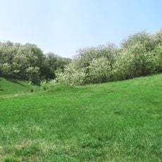
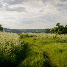
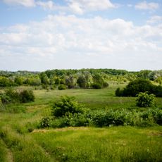
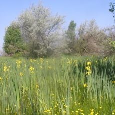
The reservoir has become part of local identity since its completion in the 1960s. People in the area use it for fishing, boating, and summer gatherings along the shore, making it a natural part of their daily routine.

Visitors should stay at a safe distance from the water's edge, especially near steep embankments, and be cautious when moving along the shore. In winter, the water freezes with ice layers reaching about 65 centimeters thick, allowing ice activities but requiring care.

The hydroelectric station on this water generates about 1.3 billion kilowatt-hours of electricity annually, making it a critical power source for the region. The facility was built from 1956 to 1965 and remains a notable example of mid-20th century industrial infrastructure.

The community of curious travelers

AroundUs brings together thousands of curated places, local tips, and hidden gems, enriched daily by 60,000 contributors worldwide.

Start exploring
Location
GPS coordinates
48.79611,34.11250
Latest update
February 7, 2026 11:00
« Kamianske Reservoir - reservoir » is provided by Around Us (aroundus.com). Images and texts are derived from Wikimedia project under a Creative Commons license. You are allowed to copy, distribute, and modify copies of this page, under the conditions set by the license, as long as this note is clearly visible.

Discover hidden gems everywhere you go!

From secret cafés to breathtaking viewpoints, skip the crowded tourist spots and find places that match your style. Our app makes it easy with voice search, smart filtering, route optimization, and insider tips from travelers worldwide. Download now for the complete mobile experience.

Around Us App Screenshot

A unique approach to discovering new places

Le Figaro

All the places worth exploring

France Info

A tailor-made excursion in just a few clicks

20 Minutes

Around Us
Travel Guide & Maps
Download

Send to your phone

QR Code
1

Open the camera app on your mobile.

2

Point at the QR code with your camera. A notification will appear.

3

Tap the notification to open the link.