Chest opened
+${chestReward.xp} XP
Explorer
NOUVEAU ×${chestReward.collectible.quantity}
tapez pour fermer
Chest locked

Open chests in the app

Around Us is built for your phone — chests unlock when you walk, explore and capture nearby places.

Enable Location

We need your location to show you interesting places around you

Discover nearby places

Find interesting locations and hidden gems around you

Precise directions

Get accurate directions and distances to places

Your location is never shared with other users. It's only used when you tap the location button.

Log in to your account

Start exploring — it's free

Trusted by 72,876 travelers worldwide

Continue with Google
Continue with Apple
or

We will send you a code to connect

By continuing, you accept our Terms and Conditions and our Privacy Policy

Check your inbox

We've sent a pincode in your inbox. Please enter the code below.

Dnieper Upland
Discussion Reviews Photo
13.6k Popularity

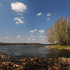
Dnieper Upland, Upland region between Dnieper and Southern Bug Rivers, Ukraine.

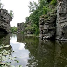
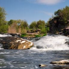
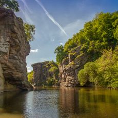
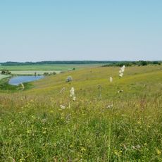
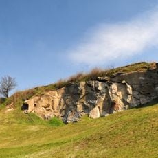
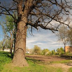
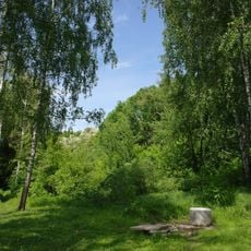
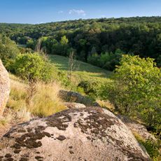
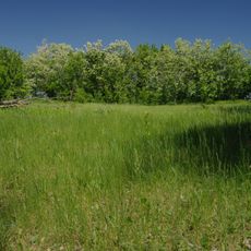
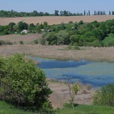
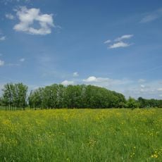
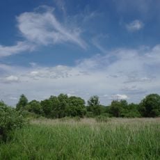
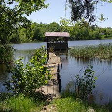
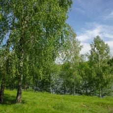
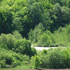
The Dnieper Upland is a highland region in central Ukraine situated between two major rivers, with elevations reaching about 320 meters. Deep valleys, canyon-like formations, and an intricate network of waterways carve through the terrain, creating a landscape of varied features.

The location between two major rivers made this upland a magnet for ancient settlers seeking protection and fertile ground for survival. Over millennia, this position established the region as a significant center for multiple civilizations and their growth.

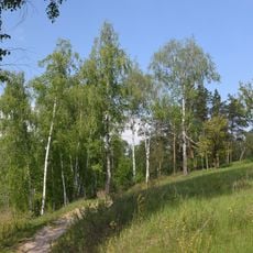
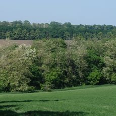
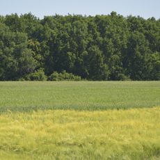
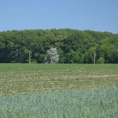
The varied landscapes of river valleys and rolling hills have shaped how people live and work in this region for centuries. Traditional Ukrainian farming methods still reflect an adaptation to this terrain, visible in how villages and fields are organized across the land.

The region spans multiple oblasts across Ukraine and supports both agricultural and industrial activities. Visitors should expect varied terrain throughout the area and can experience the landscape from different vantage points depending on which sections they explore.

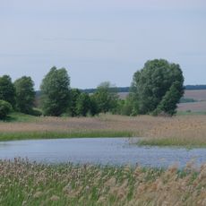
Near Kaniv, the hills form unusual canyon-like structures with depths reaching about 90 meters, creating distinct habitats for local plant life. These formations resulted from river erosion and give this area an unexpected geological character.

The community of curious travelers

AroundUs brings together thousands of curated places, local tips, and hidden gems, enriched daily by 60,000 contributors worldwide.

Start exploring
GPS coordinates
49.11667,30.61667
Latest update
December 7, 2025 20:25
Reviews
Share your experience

No review yet

Discussions
Start a discussion...

No discussion yet

« Dnieper Upland - Upland region between Dnieper and Southern Bug Rivers, Ukraine » is provided by Around Us (aroundus.com). Images and texts are derived from Wikimedia project under a Creative Commons license. You are allowed to copy, distribute, and modify copies of this page, under the conditions set by the license, as long as this note is clearly visible.

Discover hidden gems everywhere you go!

From secret cafés to breathtaking viewpoints, skip the crowded tourist spots and find places that match your style. Our app makes it easy with voice search, smart filtering, route optimization, and insider tips from travelers worldwide. Download now for the complete mobile experience.

Around Us App Screenshot

A unique approach to discovering new places

Le Figaro

All the places worth exploring

France Info

A tailor-made excursion in just a few clicks

20 Minutes

Around Us
Travel Guide & Maps
Download

Send to your phone

QR Code
1

Open the camera app on your mobile.

2

Point at the QR code with your camera. A notification will appear.

3

Tap the notification to open the link.