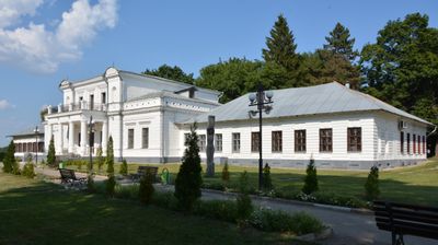
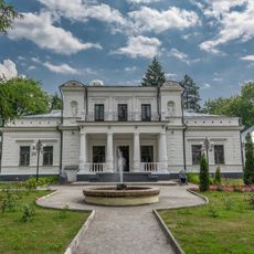
Trostianets, city of Ukraine
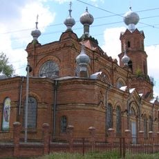
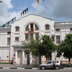
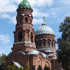
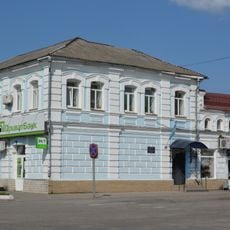
Trostianets is a city in Sumy Oblast in northeastern Ukraine. It serves as a regional center with local administrative buildings, markets, and residential neighborhoods that form the backbone of community life.
Trostianets was founded in the 17th century and grew into a local trading center over the following centuries. Its position in the Sumy region made it an important point for regional connections and commerce.
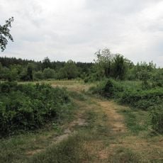
As a regional center, the city has basic amenities like shops, local services, and public facilities that visitors can easily access. The best time to visit is during spring and summer months when the weather is pleasant for exploring.
The community of curious travelers
AroundUs brings together thousands of curated places, local tips, and hidden gems, enriched daily by 60,000 contributors worldwide.