
Holovanivsk, urban-type settlement in Kirovohrad Oblast, Ukraine
Location: Holovanivsk Raion
Location: Holovanivsk Raion
Elevation above the sea: 166 m
GPS coordinates: 48.38000,30.44722
Latest update: April 9, 2025 03:25
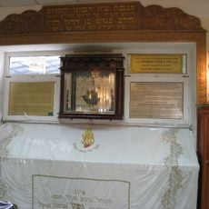
Tomb of Nachman of Breslov
43.8 km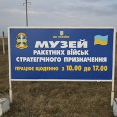
Strategic missile forces museum in Ukraine
26.9 km
Nebelivka
30.3 km
Holovanivsk Raion
8.6 km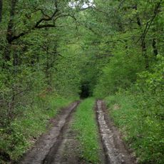
Savran forest
42.6 kmPidhorodna
44.3 km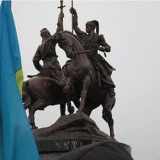
Salizniak and Gonta memorial
43.5 km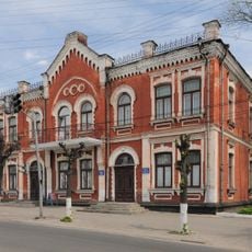
Uman Local Museum
43.9 km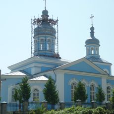
Holy Trinity Orthodox church in Uman
42.9 km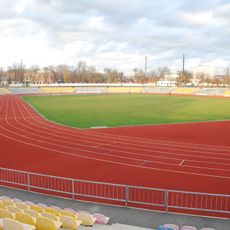
Central Stadium, Uman
44.4 km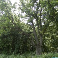
Zelena Brama
30.6 km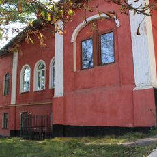
Shevchenka 1, Uman
44.5 km
Church of Assumption of Mary in Uman
44.4 km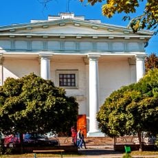
烏曼藝術博物館
44.4 km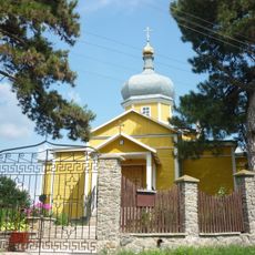
St. Michael's Church
43.4 km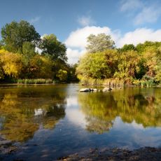
Kohutivka
25 km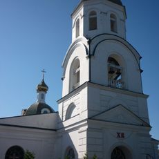
Saint Nicholas Cathedral
44 km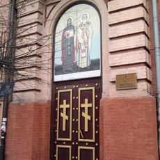
Cyril and Methodius Church
44.3 km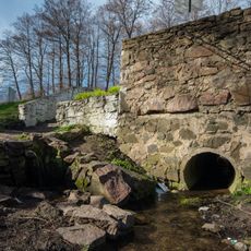
Ohrud Spring
31.2 km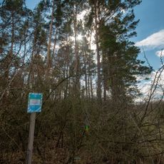
Pine forest
33 km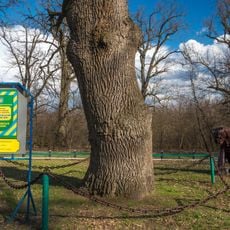
Slusarivskii Oak
36.6 km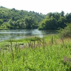
Salkivske
37.3 km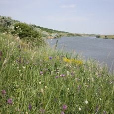
Kamianohirskyi zakaznyk
23.3 km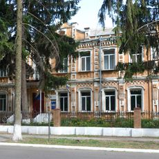
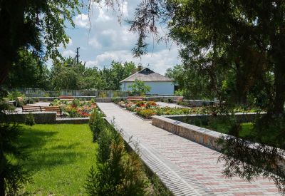
11 Parkova Street, Holovanivsk
1.3 km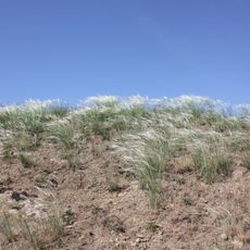
Hrenivskyi
20.9 km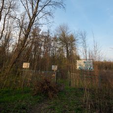
Arboretum "Friendship"
45.2 km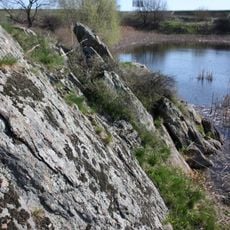
Skalky
17.7 km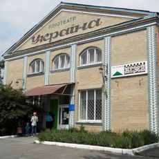
Новоархангельський районний краєзнавчий музей
41.2 kmVisited this place? Tap the stars to rate it and share your experience / photos with the community! Try now! You can cancel it anytime.
Discover hidden gems everywhere you go!
From secret cafés to breathtaking viewpoints, skip the crowded tourist spots and find places that match your style. Our app makes it easy with voice search, smart filtering, route optimization, and insider tips from travelers worldwide. Download now for the complete mobile experience.

A unique approach to discovering new places❞
— Le Figaro
All the places worth exploring❞
— France Info
A tailor-made excursion in just a few clicks❞
— 20 Minutes