Enable Location

We need your location to show you interesting places around you

Discover nearby places

Find interesting locations and hidden gems around you

Precise directions

Get accurate directions and distances to places

Your location is never shared with other users. It's only used when you tap the location button.

Bilohorivka

Log in to your account

Start exploring — it's free

Trusted by 62,263 travelers worldwide

Continue with Google
Continue with Apple
or

We will send you a code to connect

By continuing, you accept our Terms and Conditions and our Privacy Policy

Check your inbox

We've sent a pincode in your inbox. Please enter the code below.

Bilohorivka

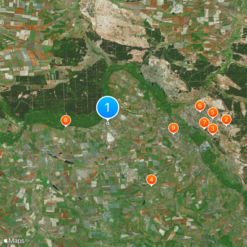
Bilohorivka, Administrative settlement in Luhansk Oblast, Ukraine

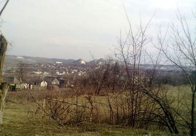
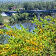
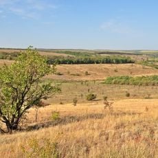
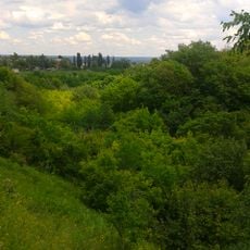
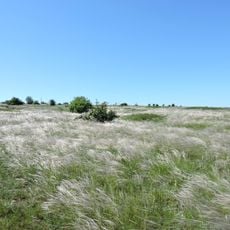
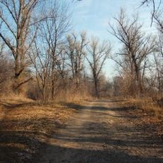
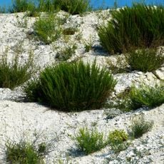
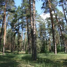
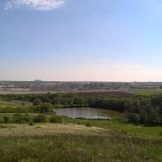
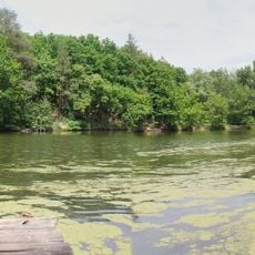
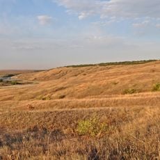
Bilohorivka is a rural settlement in Luhansk Oblast, eastern Ukraine, belonging to Lysychansk urban hromada. The settlement sits 86 meters above sea level on the southern slopes of the Donets Ridge near the Siverskyi Donets river.

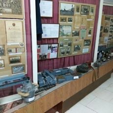
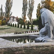
Migrants from Belgorodsky Uyezd in Kursk Governorate founded the settlement in 1720, originally calling it Belhorodka. The settlement received its current name Bilohorivka in 1961 and was long shaped by chalk mining in nearby quarries.

The settlement includes multiple ethnic groups, with residents from Ukrainian, Russian, Belarusian, Tatar, Greek, and Polish backgrounds forming a diverse community.

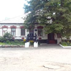
A hospital operates in the settlement and bus services run to nearby cities such as Lysychansk and Siversk. The settlement lies in eastern Ukraine near the Donbas border and is currently heavily affected by war.

Until 2013 a cable car connected the local chalk quarries to the Lysychansk soda plant, transporting raw materials across several kilometers. This installation operated for nearly 60 years before being shut down and later dismantled.

The community of curious travelers

AroundUs brings together thousands of curated places, local tips, and hidden gems, enriched daily by 60,000 contributors worldwide.

Start exploring
Elevation above the sea
86 m
GPS coordinates
48.93333,38.25000
Latest update
December 12, 2025 22:36
Around this place
Show the full map
« Bilohorivka - Administrative settlement in Luhansk Oblast, Ukraine » is provided by Around Us (aroundus.com). Images and texts are derived from Wikimedia project under a Creative Commons license. You are allowed to copy, distribute, and modify copies of this page, under the conditions set by the license, as long as this note is clearly visible.

Discover hidden gems everywhere you go!

From secret cafés to breathtaking viewpoints, skip the crowded tourist spots and find places that match your style. Our app makes it easy with voice search, smart filtering, route optimization, and insider tips from travelers worldwide. Download now for the complete mobile experience.

Around Us App Screenshot

A unique approach to discovering new places

Le Figaro

All the places worth exploring

France Info

A tailor-made excursion in just a few clicks

20 Minutes

Around Us
Travel Guide & Maps
Download

Send to your phone

QR Code
1

Open the camera app on your mobile.

2

Point at the QR code with your camera. A notification will appear.

3

Tap the notification to open the link.