Kostiantiniv, village in Nedryhailiv Raion, Sumy Oblast, Ukraine
Location: Nedryhailiv Raion
Elevation above the sea: 152 m
GPS coordinates: 50.84815,33.79370
Latest update: March 10, 2025 22:16

Taras Shevchenko monument
24.2 km
Romny Raion
12.4 km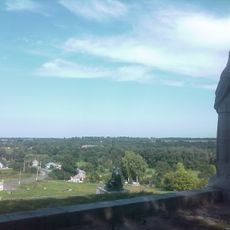
Terny
19.9 km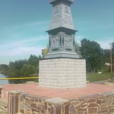
Mammoth Monument, Kulishivka
3.4 km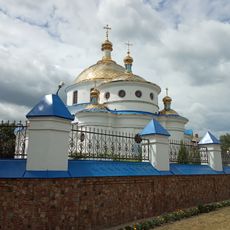
Church of the Ascension, Romny
24.4 km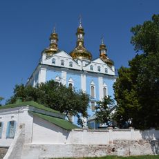
Holy Spirit Orthodox Cathedral in Romny
24 km
Zolotuha mount
18.3 km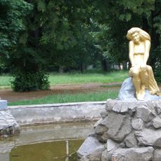
Romenskyy
24 km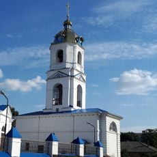
Bell tower of the church of the Ascension, Romny
24.5 km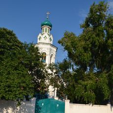
Василівська церква
24 km
Verhniosulskyy
23.3 km
Oksyutynski mounds
15.7 km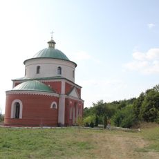
Церква Успіння Пресвятої Богородиці (Костянтинів)
424 m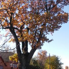
Garkushi oak
19.5 km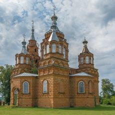
Holy Trinity
17.7 km
Vovkivtci
12 km
Sulky
19.2 km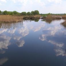
Pustoviytivskyy
15.7 km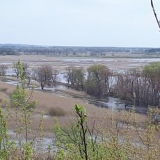
Djerelni rozsipi
22.2 km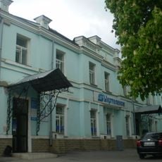
Поштова контора
24.5 km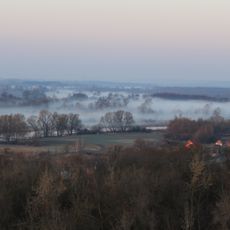
Вощилиха
10.4 km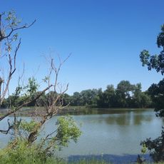
Ternivskyy
23.6 km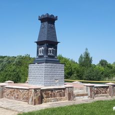
Mamontove
3.4 km
Недригайлівський заказник
1.6 km
Borozenkivskyy
20.9 km
Dibrivka
11.6 km
Голубців
5.4 km
Horuzhivski boulders
7.5 kmVisited this place? Tap the stars to rate it and share your experience / photos with the community! Try now! You can cancel it anytime.
Discover hidden gems everywhere you go!
From secret cafés to breathtaking viewpoints, skip the crowded tourist spots and find places that match your style. Our app makes it easy with voice search, smart filtering, route optimization, and insider tips from travelers worldwide. Download now for the complete mobile experience.

A unique approach to discovering new places❞
— Le Figaro
All the places worth exploring❞
— France Info
A tailor-made excursion in just a few clicks❞
— 20 Minutes