
Canton of Maurs, canton of France
Location: Cantal
Inception: March 22, 2015
Capital city: Maurs
GPS coordinates: 44.71056,2.19806
Latest update: May 16, 2025 11:55
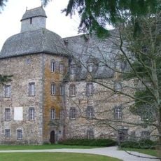
Château de Conros
25.7 km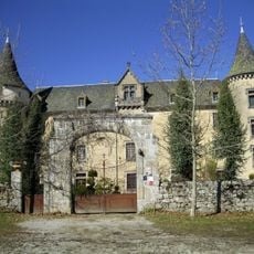
Château de Bessonies
11.7 km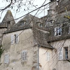
Château de Fargues
15.1 km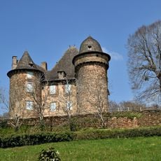
Château de Selves
13.2 km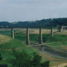
Ribeyrès viaduct
22.5 km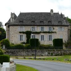
Château de La Grillère
21.4 km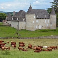
Château d'Entraygues
6.4 km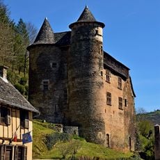
Château de Vieillevie
19 km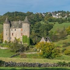
Château de Réghaud
17.4 km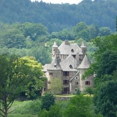
Château de Veyrières
22.3 km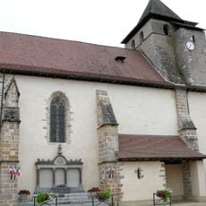
Saint-Cesáreo de Maurs
21 m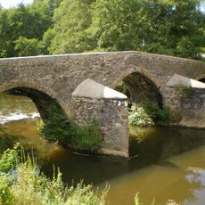
Pont Roman
6.1 km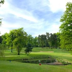
Golf de Haute Auvergne
24.1 km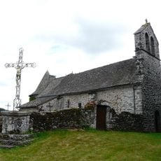
Église de la Salvetat (Saint-Mamet-la-Salvetat)
18.1 km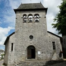
Église de Glénat
21.3 km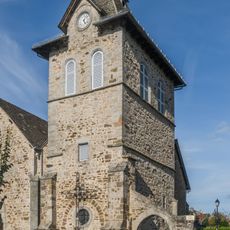
Église Notre-Dame de la Purification de Cassaniouze
14.9 km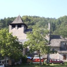
Église Saint-Parthem de Saint-Parthem
13.2 km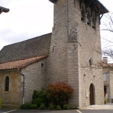
Église Sainte-Anne de Cayrols
13.9 km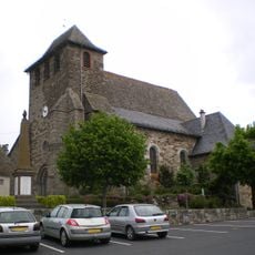
Église Saint-Mamet
18.4 km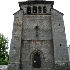
Église Saint-Sauveur de Sansac-de-Marmiesse
22.5 km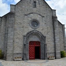
Église Saint-Martin de Marcolès
14.6 km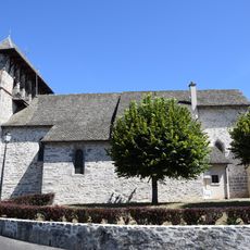
Église Sainte-Barbe de Roannes-Saint-Mary
22.2 km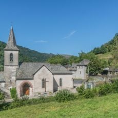
Church of Notre Dame d'Aynès
20.7 km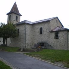
Église Notre-Dame-de-l'Assomption de La Ségalassière
20.3 km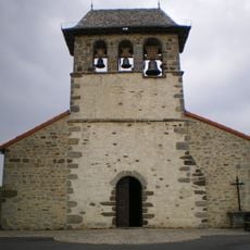
Église Saint-Séverin de Saint-Saury
18 km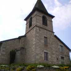
Église Saint-Georges de Parlan
13.3 km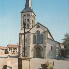
Église Saint-Michel de Montredon
10.3 km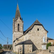
Church in Saint-Julien-de-Piganiol
7.9 kmReviews
Visited this place? Tap the stars to rate it and share your experience / photos with the community! Try now! You can cancel it anytime.
Discover hidden gems everywhere you go!
From secret cafés to breathtaking viewpoints, skip the crowded tourist spots and find places that match your style. Our app makes it easy with voice search, smart filtering, route optimization, and insider tips from travelers worldwide. Download now for the complete mobile experience.

A unique approach to discovering new places❞
— Le Figaro
All the places worth exploring❞
— France Info
A tailor-made excursion in just a few clicks❞
— 20 Minutes