
Narnhac, commune in Cantal, France
Location: canton of Pierrefort
Location: Cantal
Location: arrondissement of Saint-Flour
Industry: administration publique générale
Shares border with: Thérondels, Malbo, Saint-Martin-sous-Vigouroux
Phone: +33471734351
Email: mairie.narnhac@wanadoo.fr
GPS coordinates: 44.92861,2.77889
Latest update: March 14, 2025 19:55
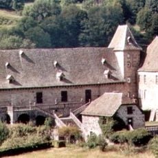
Château de Cropières
9.4 km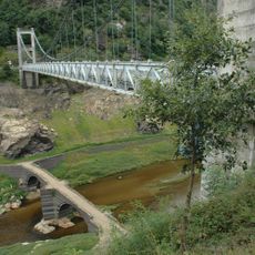
Pont de Tréboul
9.3 km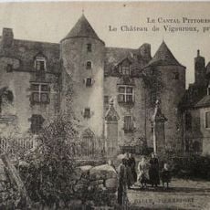
Château de Vigouroux
3.1 km
Château de Lescure
2.9 km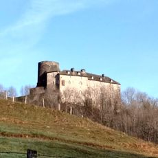
Château de Castel Noël
9.8 km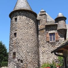
Château d'Albinhac
10.2 km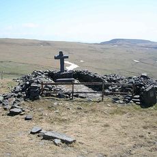
Chapelle du Cantal
11.2 km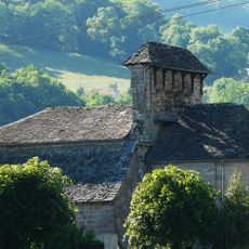
Église Notre-Dame-de-l'Assomption de Jou-sous-Monjou
9.1 km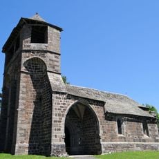
Église Saint-Roch d'Albinhac
10.2 km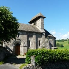
Église Saint-Martin de Bromme
9.8 km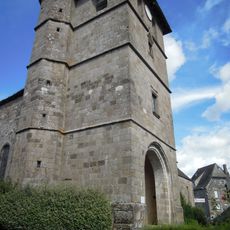
Église Saint-Pierre de Raulhac
10.3 km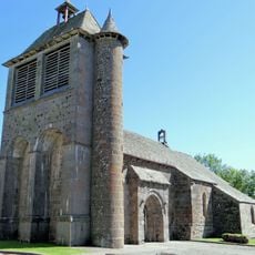
Église Notre-Dame de Thérondels
3.9 km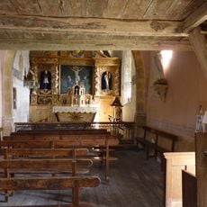
Chapelle de Laussac
8.4 km
Église Saint-Germain de Cézens
8.7 km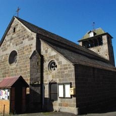
Église Saint-Saturnin de Paulhenc
5.4 km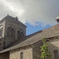
Église Saint-Hilaire de Brezons
5.1 km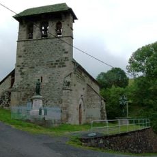
Église Saint-Clément (Saint-Clément, Cantal)
10.6 km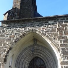
Église Saint-Martin de Saint-Martin-sous-Vigouroux
2 km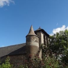
Église Saint-Laurent de Vigouroux
3 km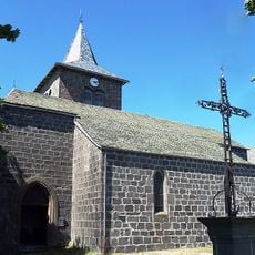
Église Saint-Blaise de Vines
8.4 km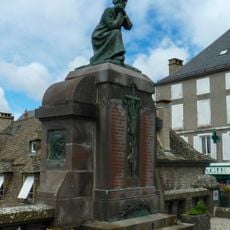
Pierrefort war memorial
4.8 km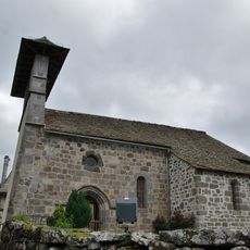
Église Saint-Julien de Lacapelle-Barrès
4.4 km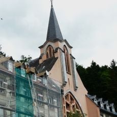
Chapelle de l'hospice de la Devèze
7.6 km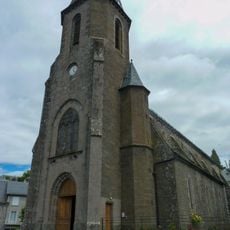
Église Saint-Jean-Baptiste de Pierrefort
4.9 km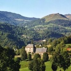
Château de Lasalle
12.4 km
Hameau de Rissergues
6.9 km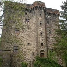
Donjon de la Boyle
8.3 km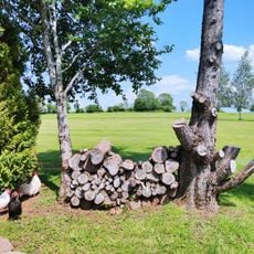
Golf du Battut
6 kmReviews
Visited this place? Tap the stars to rate it and share your experience / photos with the community! Try now! You can cancel it anytime.
Discover hidden gems everywhere you go!
From secret cafés to breathtaking viewpoints, skip the crowded tourist spots and find places that match your style. Our app makes it easy with voice search, smart filtering, route optimization, and insider tips from travelers worldwide. Download now for the complete mobile experience.

A unique approach to discovering new places❞
— Le Figaro
All the places worth exploring❞
— France Info
A tailor-made excursion in just a few clicks❞
— 20 Minutes