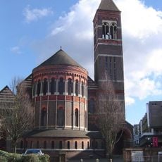
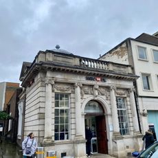
Watford, Market town in Hertfordshire, England.
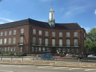
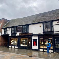
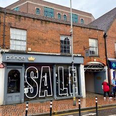
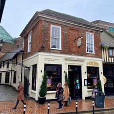
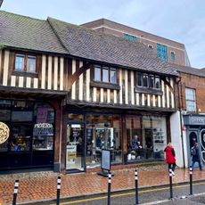
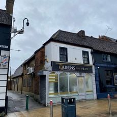
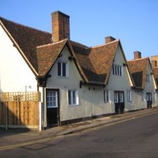
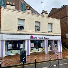
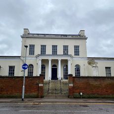
Watford is a town in Hertfordshire, roughly 15 miles northwest of central London, stretching along the River Colne at an elevation of around 71 meters. The built environment ranges from Victorian terraces in the inner neighborhoods to newer housing complexes on the edges, broken up by parks and green spaces.
The settlement received its market charter in the 12th century and grew markedly after the Grand Junction Canal opened in 1798. Later railway connections accelerated expansion and turned the town into a London suburb during the 20th century.
Families spend weekends at Cassiobury Park, a 190-acre site with nature zones, play areas, and a miniature railway. Local runners and cyclists use the paths along the Colne while picnic groups gather under the old trees.
Five railway stations and one Underground station connect the town to central London via overground trains, the Tube, and West Coast Mainline services. Most routes depart from the main station, while other stops serve residential areas on the outskirts.
The 2021 census recorded roughly 102,000 residents with a composition of approximately 61 percent White, 24 percent Asian, and 6 percent Black. This mix shows up in the restaurants, shops, and places of worship found along many streets.
Location: Watford
Elevation above the sea: 71 m
Shares border with: Chesham, Bushey
Website: http://watford.gov.uk
GPS coordinates: 51.65528,-0.39583
Latest update: December 12, 2025 19:49
Watford Palace Theatre
211 m
Church of St Mary, Watford
65 m
Holy Rood Church
199 m
Beechen Grove Baptist Chapel
276 m
Clutterbuck Tomb 6 Metres South South East Of Deacon/Kent Tomb In Church Of St Mary
145 m
Tomb 5 Metres East Of Fawcett Tomb In St Mary's Church
84 m
Dalton/Guest Tomb 45 Metres South Of South West Corner Of Church Of St Mary
133 m
Morison Tomb 10 Metres North Of The Mrs Elizabeth Fuller Free School In The Church Of St Mary
138 m
The One Crown Public House
287 m
1A, Carey Place
237 m
Headstone Of George Edward Doney Approx. 50 Metres Ssw Of The Tower Of The Church Of St Mary
142 m
14 And 16, The Parade
263 m
Tomb 10 Metres South Of Chancel Of Church Of St Mary
92 m
145, High Street
259 m
The Mrs Elizabeth Fuller Free School
153 m
137, High Street
241 m
Shipton/Finch Tomb 5 Metres East Of Chancel Of Church Of St Mary
75 m
Fawcett Tomb 2 Metres South Of Chancel Of Church Of St Mary
83 m
139, High Street
248 m
158, High Street
297 m
Deacon Stracy Tomb 5 Metres East Of Dundas Tomb
94 m
Bedford And Essex Almshouses
152 m
Dundas Tomb 12 Metres South West Of Chancel Of St Mary's Church
95 m
73 High Street
21 m
133 And 135, High Street
231 m
149 And 151, High Street
276 m
Watford Place
245 m
129 And 131, High Street
221 mVisited this place? Tap the stars to rate it and share your experience / photos with the community! Try now! You can cancel it anytime.
Discover hidden gems everywhere you go!
From secret cafés to breathtaking viewpoints, skip the crowded tourist spots and find places that match your style. Our app makes it easy with voice search, smart filtering, route optimization, and insider tips from travelers worldwide. Download now for the complete mobile experience.
A unique approach to discovering new places❞
— Le Figaro
All the places worth exploring❞
— France Info
A tailor-made excursion in just a few clicks❞
— 20 Minutes