Clerkenwell

Log in to your account

AroundUs is a community-driven map of interesting places, built by curious explorers like you. It grows with every review, story, and photo you share.
Connect to save your favorite spots, contribute locations, and create personalized routes.
Continue with Google
Continue with Apple
Continue with X
Continue with Facebook
Continue with email
By continuing, you accept our Terms and Conditions and our Privacy Policy
Create an account
Add to collection
Map
Suggest a change
Share

Clerkenwell, Historic neighborhood in Central London, United Kingdom

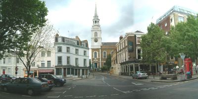
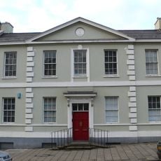
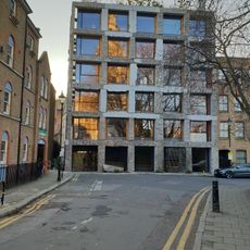
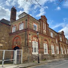
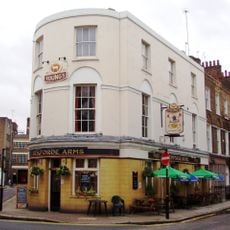
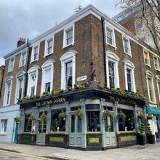
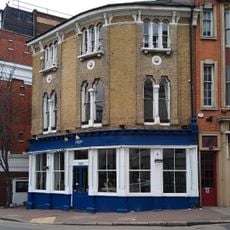
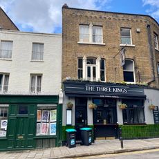
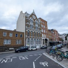
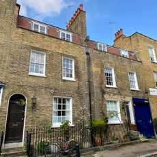
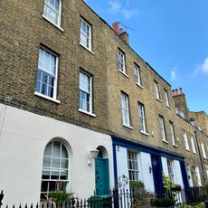
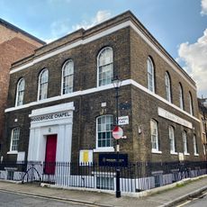
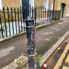
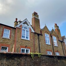
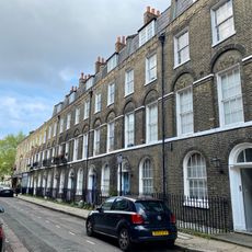
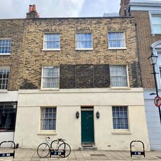
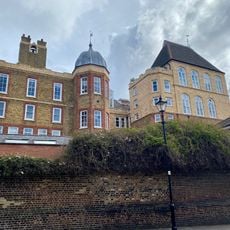
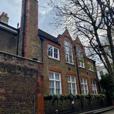
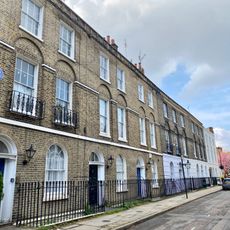
Clerkenwell is a neighborhood in Central London, located between the City and Islington, known for its narrow streets, converted industrial buildings, and design studios. Small parks, cobbled courtyards, and low brick houses alternate with modern offices and cafés throughout the area.

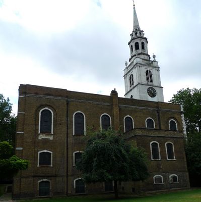
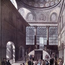
In the 12th century, clerics gave the place its name after the Clerks' Well in Farringdon Lane, where medieval scribes performed religious plays. Later, a seat of the Knights Hospitaller was established here, and from the 19th century onward the neighborhood became a center for Italian immigrants in London.

During the 19th century, immigrants from Italy settled here and opened cafés, food shops, and workshops. Today, some street names and businesses still recall this period, though the neighborhood now hosts agencies, studios, and bars.

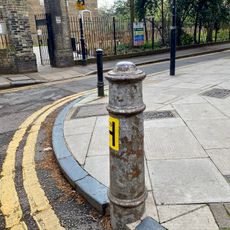
Several underground stations such as Farringdon and Barbican lie within walking distance and connect the neighborhood to other parts of the city. Many streets are steep or narrow, so comfortable footwear is recommended for longer walks through the lanes.

The gate of St John, a preserved 16th-century passageway, still stands today as a remnant of the former priory of the Knights Hospitaller. Visitors can enter the courtyard and examine the old bricks and arches up close.

Location: London Borough of Islington

GPS coordinates: 51.52600,-0.10347

Latest update: December 13, 2025 17:13

Photos
Around this place
St James's Church
United Kingdom

St James's Church

307 m
Marx Memorial Library
United Kingdom

Marx Memorial Library

378 m
15 Clerkenwell Close
United Kingdom

15 Clerkenwell Close

372 m
Middlesex Sessions House
United Kingdom

Middlesex Sessions House

417 m
Former Bowling Green Lane Board School
United Kingdom

Former Bowling Green Lane Board School

307 m
The Sekforde
United Kingdom

The Sekforde

202 m
The Crown Tavern Public House
United Kingdom

The Crown Tavern Public House

331 m
Easternmost Of Two K2 Telephone Kiosks To The Centre Of Clerkenwell Green
United Kingdom

Easternmost Of Two K2 Telephone Kiosks To The Centre Of Clerkenwell Green

345 m
12-14A, Clerkenwell Green
United Kingdom

12-14A, Clerkenwell Green

364 m
18 And 20, Farringdon Lane
United Kingdom

18 And 20, Farringdon Lane

408 m
29, Clerkenwell Green
United Kingdom

29, Clerkenwell Green

412 m
6, Clerkenwell Close
United Kingdom

6, Clerkenwell Close

344 m
53, Clerkenwell Close
United Kingdom

53, Clerkenwell Close

326 m
Number 20 And Attached Railings
United Kingdom

Number 20 And Attached Railings

245 m
34, Farringdon Lane
United Kingdom

34, Farringdon Lane

409 m
22A And 24 St James's Walk
United Kingdom

22A And 24 St James's Walk

241 m
Numbers 26 To 32 (Even) And Attached Railings
United Kingdom

Numbers 26 To 32 (Even) And Attached Railings

235 m
Woodbridge Chapel And Attached Railings
United Kingdom

Woodbridge Chapel And Attached Railings

224 m
Bollard outside number 20
United Kingdom

Bollard outside number 20

250 m
Outbuilding On South Side Of The Yard, Kingsbury College Clerkenwell Centre
United Kingdom

Outbuilding On South Side Of The Yard, Kingsbury College Clerkenwell Centre

214 m
Numbers 35 To 43 (Consecutive) And Attached Railings
United Kingdom

Numbers 35 To 43 (Consecutive) And Attached Railings

229 m
Three Bollards Circa 5, 10 And 20 Metres South Of Gates To St James's Church
United Kingdom

Three Bollards Circa 5, 10 And 20 Metres South Of Gates To St James's Church

348 m
54, Clerkenwell Close
United Kingdom

54, Clerkenwell Close

332 m
Kingsway College Clerkenwell Centre
United Kingdom

Kingsway College Clerkenwell Centre

218 m
Former Cookery And Laundry Building, Kingsway College Clerkenwell Centre
United Kingdom

Former Cookery And Laundry Building, Kingsway College Clerkenwell Centre

252 m
Westernmost Of Two K2 Telephone Kiosks To The Centre Of Clerkenwell Green
United Kingdom

Westernmost Of Two K2 Telephone Kiosks To The Centre Of Clerkenwell Green

350 m
Bollard On The Corner Of Sekforde Street And St James's Walk
United Kingdom

Bollard On The Corner Of Sekforde Street And St James's Walk

272 m
Numbers 8 To 14 (Consecutive) And Attached Railings
United Kingdom

Numbers 8 To 14 (Consecutive) And Attached Railings

207 m
Show the full map
Reviews

Visited this place? Tap the stars to rate it and share your experience / photos with the community! Try now! You can cancel it anytime.

« Clerkenwell - Historic neighborhood in Central London, United Kingdom » is provided by Around Us (aroundus.com). Images and texts are derived from Wikimedia project under a Creative Commons license. You are allowed to copy, distribute, and modify copies of this page, under the conditions set by the license, as long as this note is clearly visible.

Discover hidden gems everywhere you go!

From secret cafés to breathtaking viewpoints, skip the crowded tourist spots and find places that match your style. Our app makes it easy with voice search, smart filtering, route optimization, and insider tips from travelers worldwide. Download now for the complete mobile experience.

Around Us App Screenshot

A unique approach to discovering new places

Le Figaro

All the places worth exploring

France Info

A tailor-made excursion in just a few clicks

20 Minutes