Chest opened
+${chestReward.xp} XP
Explorer
NOUVEAU ×${chestReward.collectible.quantity}
tapez pour fermer
Chest locked

Open chests in the app

Around Us is built for your phone — chests unlock when you walk, explore and capture nearby places.

Enable Location

We need your location to show you interesting places around you

Discover nearby places

Find interesting locations and hidden gems around you

Precise directions

Get accurate directions and distances to places

Your location is never shared with other users. It's only used when you tap the location button.

Bethnal Green

Log in to your account

Start exploring — it's free

Trusted by 72,891 travelers worldwide

Continue with Google
Continue with Apple
or

We will send you a code to connect

By continuing, you accept our Terms and Conditions and our Privacy Policy

Check your inbox

We've sent a pincode in your inbox. Please enter the code below.

Bethnal Green
Discussion Reviews 1 Photos
117k Popularity

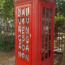
Bethnal Green, Residential district in East End of London, GB

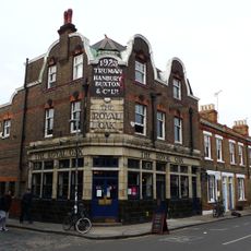
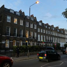
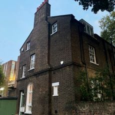
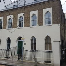
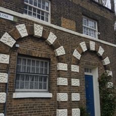
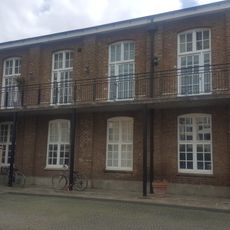
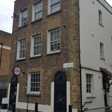
This residential district sits in the eastern part of the city, spreading between Cambridge Heath Road and Roman Road with rows of multi-story housing blocks alongside low brick terraces. The streets run in an irregular grid, dotted with small green spaces and local shopping streets that retain the working-class character of the area.

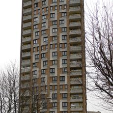
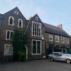
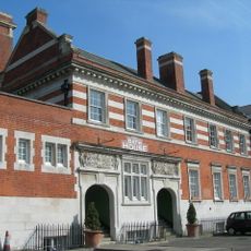
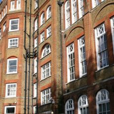
The area grew rapidly in the 19th century when factories and textile workshops arrived, drawing large numbers of working families. After bombing during the Second World War, many new housing blocks appeared in the 1950s and 1960s, reshaping the old street pattern.

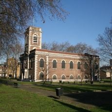
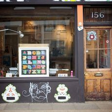
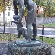
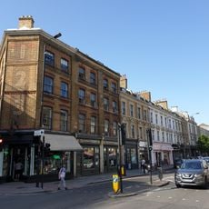
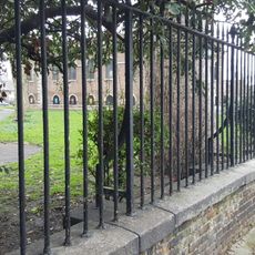
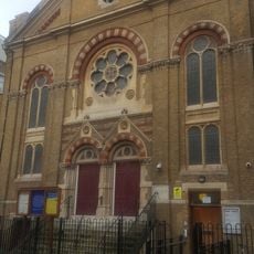
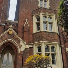
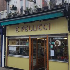
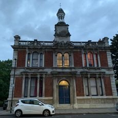
The St. John's Church from the 18th century still holds weekly services and opens its grounds for community gatherings, while the nearby Victoria Park draws residents for walks and sports. Many shops along Bethnal Green Road sell groceries and fabrics from South Asia, shaping the daily rhythm of the district.

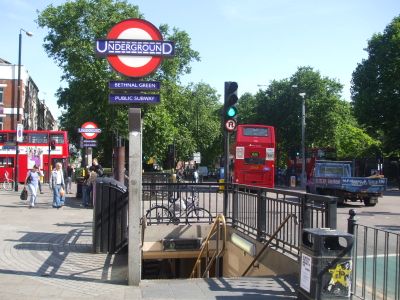
The underground station offers direct access to central areas through the Central Line, while several bus routes link the district to neighboring parts of the city. Visitors walking around will find shops, cafés, and public facilities within easy reach along the main roads.

The name comes from a medieval manor that once included green fields beyond the old city walls. Today only the designation recalls that rural past, while dense housing now covers the land.

The community of curious travelers

AroundUs brings together thousands of curated places, local tips, and hidden gems, enriched daily by 60,000 contributors worldwide.

Start exploring
Shares border with
Dalston, Spitalfields, Whitechapel
GPS coordinates
51.52750,-0.06600
Latest update
December 12, 2025 22:27
Reviews
Share your experience

No review yet

Discussions
Start a discussion...

No discussion yet

« Bethnal Green - Residential district in East End of London, GB » is provided by Around Us (aroundus.com). Images and texts are derived from Wikimedia project under a Creative Commons license. You are allowed to copy, distribute, and modify copies of this page, under the conditions set by the license, as long as this note is clearly visible.

Discover hidden gems everywhere you go!

From secret cafés to breathtaking viewpoints, skip the crowded tourist spots and find places that match your style. Our app makes it easy with voice search, smart filtering, route optimization, and insider tips from travelers worldwide. Download now for the complete mobile experience.

Around Us App Screenshot

A unique approach to discovering new places

Le Figaro

All the places worth exploring

France Info

A tailor-made excursion in just a few clicks

20 Minutes

Around Us
Travel Guide & Maps
Download

Send to your phone

QR Code
1

Open the camera app on your mobile.

2

Point at the QR code with your camera. A notification will appear.

3

Tap the notification to open the link.