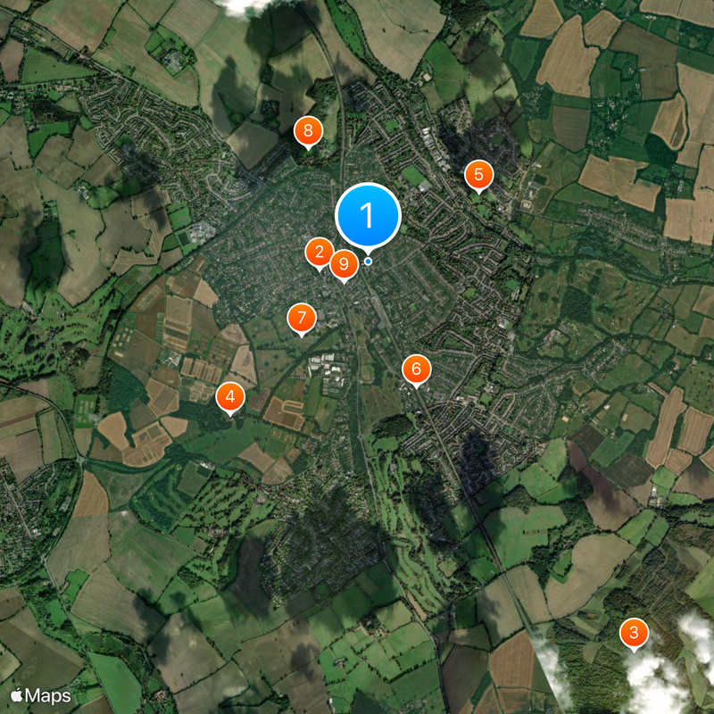
Harpenden, Administrative district in St Albans, England
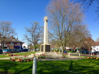
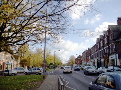
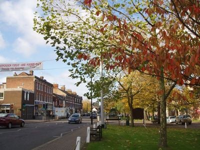
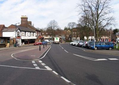
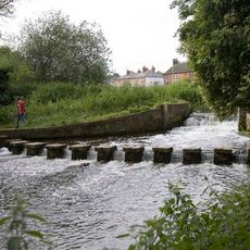
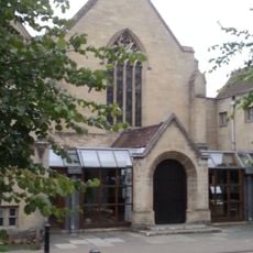
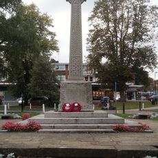
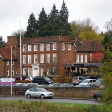
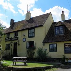
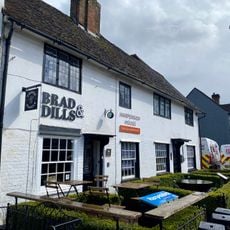
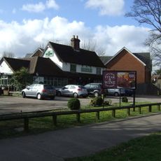
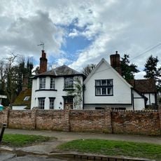
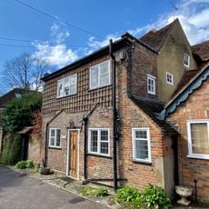
Harpenden is a town in the St Albans district of Hertfordshire, England, with residential streets, shops and several parks. Roads run from the central shopping area to open green spaces lined with mature trees and footpaths.
Early settlers farmed the land here before Roman times, while the modern layout took shape after the railway arrived in 1860. The connection to London brought rapid growth with new houses and shops along the main street.
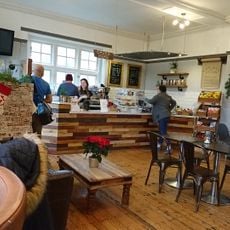
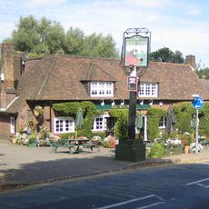
Summer markets along the High Street draw crowds who browse local produce and crafts under canvas stalls. The cricket club remains a social hub where locals gather on weekends to watch matches and chat over tea.
The railway station sits centrally and offers direct connections to London St Pancras in under 30 minutes. Most shops and facilities lie along the High Street and are reachable on foot.
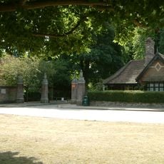
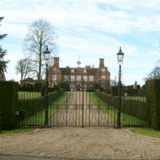
The Rothamsted Research facility has studied farming methods and plant breeding on its experimental plots for over 175 years. Visitors can walk along public footpaths past the outer grounds and see the research fields up close.
Location: Harpenden Town
Shares border with: St Albans
Website: http://harpenden.gov.uk
GPS coordinates: 51.81750,-0.35240
Latest update: December 5, 2025 16:32
St Nicholas Church, Harpenden
418 m
Rothamsted Manor
1.7 km
Batford Springs
1.1 km
Southdown Road Skew Bridge
1.1 km
Rothamsted Park
839 m
The Harpenden Methodist Church
261 m
The Red Cow Public House
1.5 km
The Fox Public House
3 km
War Memorial
341 m
The Cross Keys Public House
295 m
Moat House Hotel
512 m
Marquis Of Grandby Public House
1.2 km
The Old Bell Public House
1.4 km
Wellington House
390 m
Mackerye End
2.2 km
Mile Post Opposite Beeson Mill Lane
2.5 km
Bowers House
281 m
The Old House
595 m
66, 68, 68A And 79, High Street
385 m
72 And 72A, High Street
375 m
69, High Street
357 m
Roman Catholic Church of Our Lady of Lourdes, and associated gate piers and railings
477 m
41, High Street
293 m
The Cedars
520 m
71, 71A And 73, High Street
368 m
Milepost Opposite Moreton End Lane
847 m
Bennets
479 m
Milepost, St Albans Road, opp. West Common
943 mVisited this place? Tap the stars to rate it and share your experience / photos with the community! Try now! You can cancel it anytime.
Discover hidden gems everywhere you go!
From secret cafés to breathtaking viewpoints, skip the crowded tourist spots and find places that match your style. Our app makes it easy with voice search, smart filtering, route optimization, and insider tips from travelers worldwide. Download now for the complete mobile experience.
A unique approach to discovering new places❞
— Le Figaro
All the places worth exploring❞
— France Info
A tailor-made excursion in just a few clicks❞
— 20 Minutes