Chest opened
+${chestReward.xp} XP
Explorer
NOUVEAU ×${chestReward.collectible.quantity}
tapez pour fermer
Chest locked

Open chests in the app

Around Us is built for your phone — chests unlock when you walk, explore and capture nearby places.

Enable Location

We need your location to show you interesting places around you

Discover nearby places

Find interesting locations and hidden gems around you

Precise directions

Get accurate directions and distances to places

Your location is never shared with other users. It's only used when you tap the location button.

River Dart

Log in to your account

Start exploring — it's free

Trusted by 72,890 travelers worldwide

Continue with Google
Continue with Apple
or

We will send you a code to connect

By continuing, you accept our Terms and Conditions and our Privacy Policy

Check your inbox

We've sent a pincode in your inbox. Please enter the code below.

River Dart
Discussion Reviews 1 Photos
17.7k Popularity

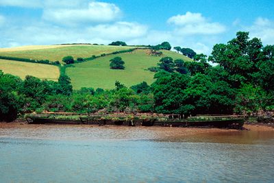
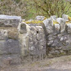
River Dart, River system in Devon, England

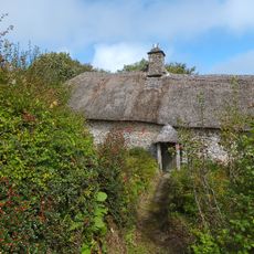
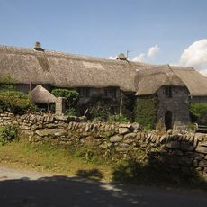
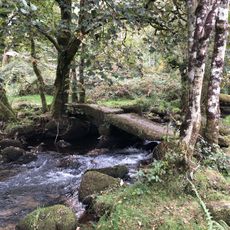
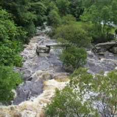
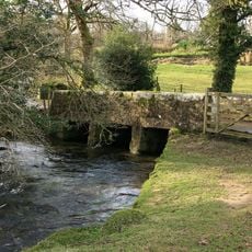
The River Dart is a river system in Devon that begins in the Dartmoor highlands and winds through the landscape until it reaches the English Channel at Dartmouth. The water flows through varied terrain, from open moorland to wooded valleys, before meeting the sea.

The river played a key role in medieval shipping when merchants and naval vessels used it as an important waterway. Dartmouth became a significant port on England's southwest coast and benefited from its position along the route.

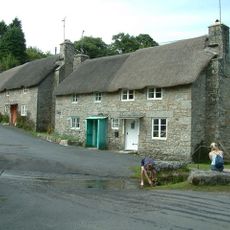
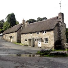
The river has drawn writers and artists seeking inspiration from its landscape over the years. Greenway Estate on its banks reflects how the place attracted creative people who found meaning in its setting.

The river can be accessed from various points along its length, with boat rentals and guided tours available from places like Dartmouth and Totnes. Choosing the right season and time of day helps you make the most of your visit depending on what you want to do.

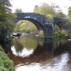
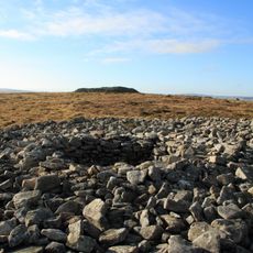
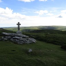
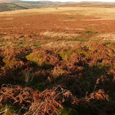
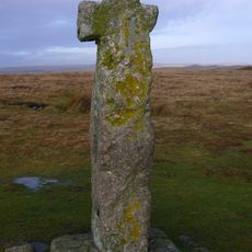
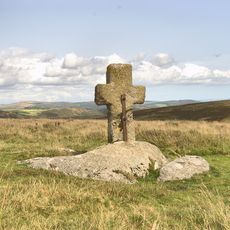
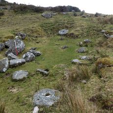
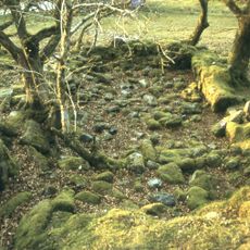
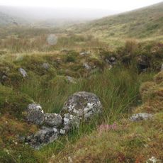
Two branches called the East Dart and West Dart meet at Dartmeet, forming a natural junction surrounded by granite rock formations. This confluence is a popular walking destination and displays the raw character of the Dartmoor landscape clearly.

The community of curious travelers

AroundUs brings together thousands of curated places, local tips, and hidden gems, enriched daily by 60,000 contributors worldwide.

Start exploring
Location
GPS coordinates
50.54250,-3.87570
Latest update
December 7, 2025 19:24
Around this place
Pixieland
United Kingdom

Pixieland

612 m
Dunnabridge Pound
United Kingdom

Dunnabridge Pound

3 km
Church of St Raphael
United Kingdom

Church of St Raphael

911 m
Ponsworthy Bridge
United Kingdom

Ponsworthy Bridge

3 km
Hexworthy Or Huccaby Bridge
United Kingdom

Hexworthy Or Huccaby Bridge

1.3 km
Forder Cottages (The Pair Immediately West Of The Splash)
United Kingdom

Forder Cottages (The Pair Immediately West Of The Splash)

2.9 km
Forder Bridge
United Kingdom

Forder Bridge

2.9 km
Higher Uppacott Uppacott
United Kingdom

Higher Uppacott Uppacott

2.9 km
County Bridge Stone Set Into Garden Wall Of Ponsworthy House About 5 Metres North East Of Its South Gate
United Kingdom

County Bridge Stone Set Into Garden Wall Of Ponsworthy House About 5 Metres North East Of Its South Gate

3.1 km
Foxworthy Farmhouse
United Kingdom

Foxworthy Farmhouse

2.5 km
Cairns N of Corndon Tor
United Kingdom

Cairns N of Corndon Tor

2.2 km
Clapper Bridge At Sx 672749
United Kingdom

Clapper Bridge At Sx 672749

1.8 km
Lt E. A. Cave-Penney Memorial Cross
United Kingdom

Lt E. A. Cave-Penney Memorial Cross

1.4 km
Clapper Bridge About 20 Metres North Of Dartmeet Bridge
United Kingdom

Clapper Bridge About 20 Metres North Of Dartmeet Bridge

112 m
Clapper bridge about 60 metres south east of West Shallowford Farmhouse
United Kingdom

Clapper bridge about 60 metres south east of West Shallowford Farmhouse

3.2 km
Partially enclosed stone hut circle settlement 350m south west of Horn's Cross
United Kingdom

Partially enclosed stone hut circle settlement 350m south west of Horn's Cross

2.3 km
Wayside cross on Down Ridge 1.1km south west of Saddle Bridge
United Kingdom

Wayside cross on Down Ridge 1.1km south west of Saddle Bridge

2.4 km
Barn Approximately 10 Metres To South-East Of Dunnabridge Pound Farmhouse
United Kingdom

Barn Approximately 10 Metres To South-East Of Dunnabridge Pound Farmhouse

3.1 km
Hexworthy Farmhouse
United Kingdom

Hexworthy Farmhouse

1.8 km
Horn's Cross
United Kingdom

Horn's Cross

2.1 km
Wayside cross on Down Ridge 730m south west of Saddle Bridge
United Kingdom

Wayside cross on Down Ridge 730m south west of Saddle Bridge

2.1 km
Blowing house and mill at Gobbet
United Kingdom

Blowing house and mill at Gobbet

2.7 km
Pigsty About 30 Metres South East Of Sweaton Farmhouse
United Kingdom

Pigsty About 30 Metres South East Of Sweaton Farmhouse

2.9 km
Ouldsbroom Cross
United Kingdom

Ouldsbroom Cross

1.3 km
Blowing houses at Week Ford
United Kingdom

Blowing houses at Week Ford

1.3 km
Blowing house on Down Ridge
United Kingdom

Blowing house on Down Ridge

3.2 km
Milestone, Sherberton Common, below Corndon Down, at slow bends between crossways, 400m SW of Lock's Gate
United Kingdom

Milestone, Sherberton Common, below Corndon Down, at slow bends between crossways, 400m SW of Lock's Gate

1.9 km
Milestone, 100m E of entrance to Brimpts Farm
United Kingdom

Milestone, 100m E of entrance to Brimpts Farm

682 m
Show the full map
Reviews
Share your experience

No review yet

Discussions
Start a discussion...

No discussion yet

« River Dart - River system in Devon, England » is provided by Around Us (aroundus.com). Images and texts are derived from Wikimedia project under a Creative Commons license. You are allowed to copy, distribute, and modify copies of this page, under the conditions set by the license, as long as this note is clearly visible.

Discover hidden gems everywhere you go!

From secret cafés to breathtaking viewpoints, skip the crowded tourist spots and find places that match your style. Our app makes it easy with voice search, smart filtering, route optimization, and insider tips from travelers worldwide. Download now for the complete mobile experience.

Around Us App Screenshot

A unique approach to discovering new places

Le Figaro

All the places worth exploring

France Info

A tailor-made excursion in just a few clicks

20 Minutes

Around Us
Travel Guide & Maps
Download

Send to your phone

QR Code
1

Open the camera app on your mobile.

2

Point at the QR code with your camera. A notification will appear.

3

Tap the notification to open the link.