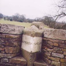
Addingham, Administrative area in Bradford, England
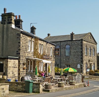
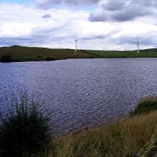
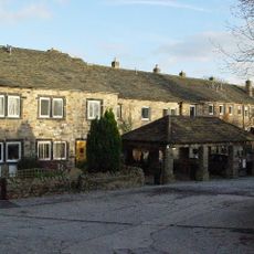
Addingham is a village and administrative division within Bradford, set in the valley of the River Wharfe between Rombald's Moor and Beamsley Beacon. It consists of a long main street lined with stone houses, surrounded by open fields and moorland on all sides.
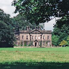
Addingham began as a farming settlement and grew during the 18th and 19th centuries when the textile industry took hold in the area. Several mills were built along the river during this period, and traces of that era can still be seen in the older buildings.
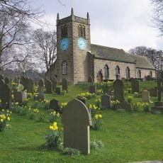
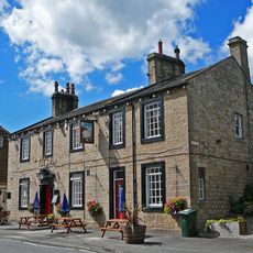
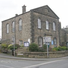
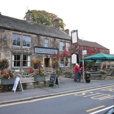
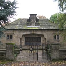
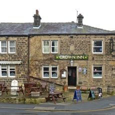
Addingham has several stone churches and traditional pubs along its main street that still bring people together on a daily basis. Walking through the village, you can see how these buildings shape the rhythm of local life.
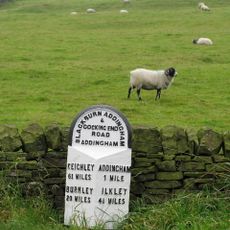
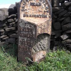
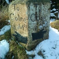
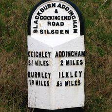
There are well-marked walking trails around Addingham that lead through the village, across the moor, and along the river valley. Local shops and the village itself offer free maps and route suggestions for those exploring on foot.
A local photo archive holds thousands of images and videos showing how Addingham looked across different generations, including rare footage of the mills and their workers. Much of this material is not found in any official record and comes from private family collections.
The community of curious travelers
AroundUs brings together thousands of curated places, local tips, and hidden gems, enriched daily by 60,000 contributors worldwide.