Dunbartonshire, Historical administrative region in Scotland
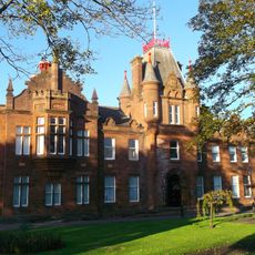
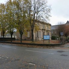
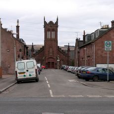
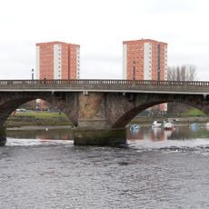
Dunbartonshire was a former county on Scotland's west coast that stretched along the northern bank of the River Clyde between Dumbarton and western Loch Lomond. The territory included prosperous towns and villages, with Glasgow sitting just beyond its southeastern boundary, making it a commercially important region for centuries.
The county developed from medieval roots and existed as a distinct administrative territory for over 800 years until the 1975 governmental reorganization fundamentally changed Scotland's local government structure. Before that reform, it had maintained relatively stable boundaries since the 18th century adjustments.
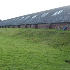
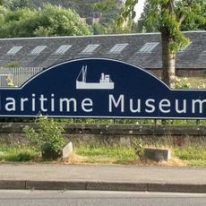
The region served as a major shipbuilding and industrial center, particularly around Dumbarton and Helensburgh. Today visitors can still observe traces of this industrial heritage in harbor structures and old factory buildings scattered across the former territory.
Today the former territory is split between West Dunbartonshire, East Dunbartonshire, and parts of North Lanarkshire, each offering distinct attractions and access points for visitors. Public transport connections link the main towns well, making it straightforward to explore different parts of what was once a single administrative region.
The county had an unusual split territory with an eastern part containing Kirkintilloch and Cumbernauld that remained physically separated from the main body until the 1975 reforms. This fragmented arrangement resulted from historical boundary shifts over several centuries rather than from a single deliberate design.
The community of curious travelers
AroundUs brings together thousands of curated places, local tips, and hidden gems, enriched daily by 60,000 contributors worldwide.