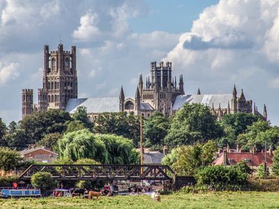
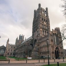
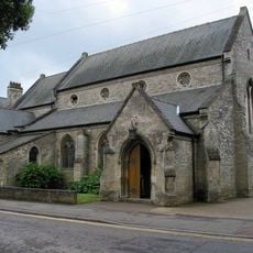
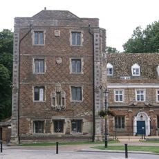
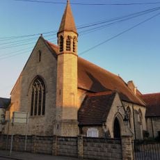
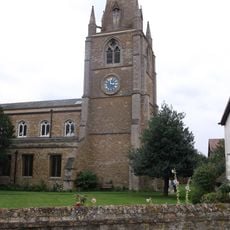
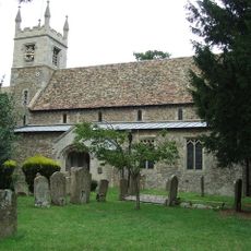
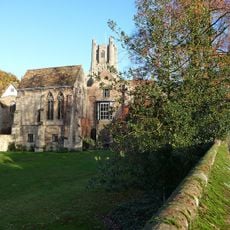
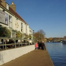
Ely, Cathedral city in East Cambridgeshire, England
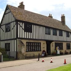
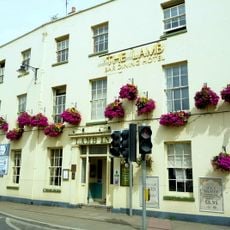
This city sits on a clay rise about 26 meters above the flat marshlands, with the Great Ouse river winding through the surrounding fens. Narrow lanes climb from the marketplace toward the cathedral, while houses from different centuries line the streets and open views across the level countryside.
An abbey was founded here in 673 by Saint Æthelthryth, a princess from the royal family of East Anglia. After Danish raiders destroyed it, the monastery was rebuilt and became one of the wealthiest in England by the time of the Norman conquest.
The name comes from the Old English word for eel, a fish once caught here in large numbers. The town still carries a coat of arms showing three eels, visible on buildings and public signs around the center.
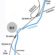
The train service runs to Cambridge and onward to London, while the A10 road forms the main route to other towns in the region. Walking covers most of the center easily, as main sights lie close together and distances remain short throughout the old streets.
For more than seven centuries potters here produced a distinctive earthenware known as Babylon ware, drawing on the rich clay deposits of the surrounding fens. The workshops used local materials and developed techniques that spread across the region for generations.
The community of curious travelers
AroundUs brings together thousands of curated places, local tips, and hidden gems, enriched daily by 60,000 contributors worldwide.