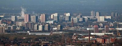
Salford, Metropolitan city in Greater Manchester, England
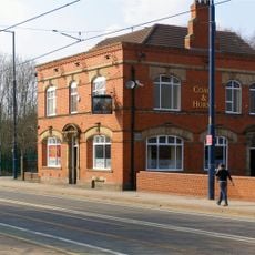
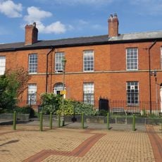
Salford lies along the western bank of the River Irwell and includes the districts of Eccles, Swinton, Walkden and Pendlebury. The city spreads across an area with residential neighborhoods, commercial zones and former docklands along the waterfront.
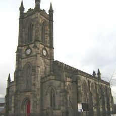
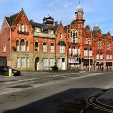
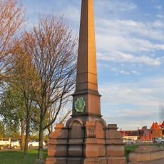
The settlement received its town charter in 1230 and grew into a center of textile production and coal mining during the 18th century. Large cotton mills and engineering works developed here throughout the 19th century.
Artist L.S. Lowry captured the industrial landscape of this city in paintings now shown in a dedicated collection. Many of these works portray factory workers and smoking chimneys from the early 20th century.
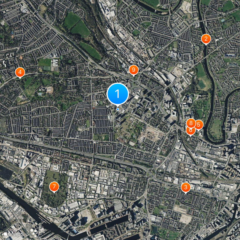
The university sits in the city center and is easily reached by public transport. The waterfront area at Quays can be reached on foot or by tram from the main railway station.
The former docklands now house several television broadcasters and digital production companies in modern office buildings. This media complex has transformed the earlier industrial quarter into a workplace for thousands of people in creative industries.
Location: Salford
Elevation above the sea: 46 m
Shares border with: Swinton, Culcheth and Glazebury
Website: http://salford.gov.uk
GPS coordinates: 53.48775,-2.28919
Latest update: December 15, 2025 06:24
Photo license: CC BY 2.0
Working Class Movement Library
1.1 km
Peel Building
1.1 km
St Thomas' Church, Pendleton
537 m
St Luke's Church, Salford
990 m
Pendleton Co-operative Industrial Society Buildings
684 m
Statue of Queen Victoria
1.2 km
St Paul's Church
323 m
Maypole Public House
662 m
Coach & Horses Public House, 350 Eccles New Road, Salford
1.2 km
Three Totem Sculptures In Front Courtyard Of The Allerton Building On Salford University Campus
668 m
2, 4 And 6, Acton Square
1.1 km
Monument To Oliver Heywood
834 m
Gazebo To East Of Peel Building
1.2 km
Joule House
1.2 km
Former Nurses Home
1.1 km
30, Broad Street
600 m
Chaseley Field
1 km
Summer Hill
889 m
Tower of Church of St George with St Barnabus
1.1 km
Buile Hill
1.1 km
Former Brunswick Wesleyan Schools
564 m
32, 34 And 36, Broad Street
596 m
Halton Bank School
610 m
21, Bolton Road
642 m
War Memorial at the Church of St Paul the Apostle
294 m
University of Salford Art Collection
1 km
Lancashire Mining Museum, Salford
1 km
Oliver Heywood
834 mVisited this place? Tap the stars to rate it and share your experience / photos with the community! Try now! You can cancel it anytime.
Discover hidden gems everywhere you go!
From secret cafés to breathtaking viewpoints, skip the crowded tourist spots and find places that match your style. Our app makes it easy with voice search, smart filtering, route optimization, and insider tips from travelers worldwide. Download now for the complete mobile experience.
A unique approach to discovering new places❞
— Le Figaro
All the places worth exploring❞
— France Info
A tailor-made excursion in just a few clicks❞
— 20 Minutes