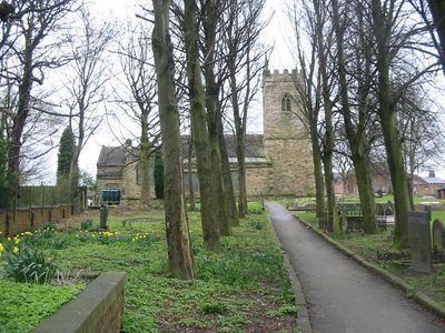
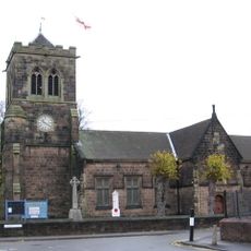
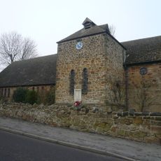
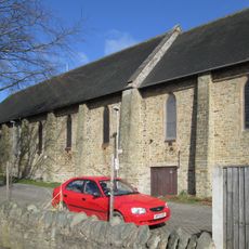
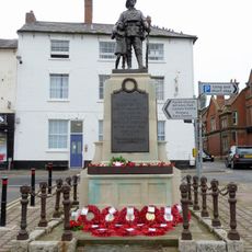
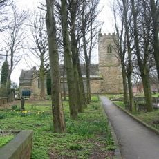
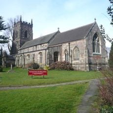
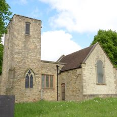
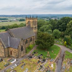
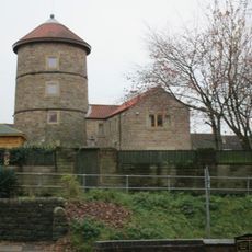
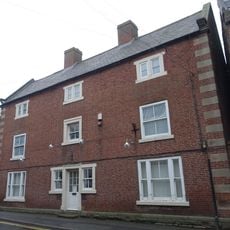
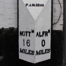
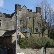
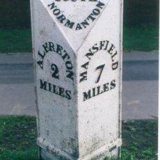
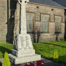
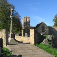
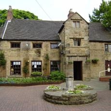
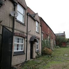
South Normanton, village and civil parish in Bolsover District, Derbyshire, England
Location: Bolsover
Elevation above the sea: 155 m
Shares border with: Blackwell, Shirland and Higham, Alfreton, Riddings, Pinxton
Website: http://southnormanton.com
GPS coordinates: 53.10700,-1.34300
Latest update: May 13, 2025 15:59
Alfreton Hall
3.6 km
Carnfield Hall
1.7 km
Christ Church
4.9 km
St. Helen's Church, Selston
4 km
Church of St James
4.3 km
St Peter's Church, Stonebroom
3.9 km
All Saints' Church, Huthwaite
3.5 km
War Memorial and Railings
3.3 km
Church of St Michael
181 m
Wycliffe Reform Church
3.4 km
Church of St Martin, Alfreton
3.5 km
Church of St Helen
2.2 km
Church of St Werburgh
1.6 km
12, Church Street
3.4 km
Windmill Tower To West Of St Michael's Church
153 m
17, Church Street
3.4 km
Milepost Abutting Church Street Front Of George Street
3.3 km
Newton Old Hall
2.4 km
Milepost At Sk 443 562
746 m
Codnor Park and Ironville War Memorial
5 km
George Hotel
3.3 km
Pinxton War Memorial Cross
2.3 km
Alfreton House
3 km
Former Stableblock To Alfreton Hall
3.5 km
House Of Confinement
3.6 km
Huthwaite Library
3.7 km
Sundial 15 Metres South East Of Porch To St Martin's Porch
3.5 km
Barn Adjoining Number 16
3.4 kmReviews
Visited this place? Tap the stars to rate it and share your experience / photos with the community! Try now! You can cancel it anytime.
Discover hidden gems everywhere you go!
From secret cafés to breathtaking viewpoints, skip the crowded tourist spots and find places that match your style. Our app makes it easy with voice search, smart filtering, route optimization, and insider tips from travelers worldwide. Download now for the complete mobile experience.
A unique approach to discovering new places❞
— Le Figaro
All the places worth exploring❞
— France Info
A tailor-made excursion in just a few clicks❞
— 20 Minutes