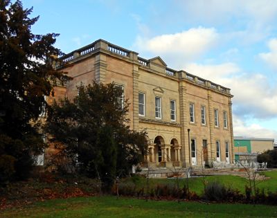
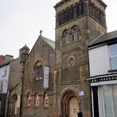
Alfreton Hall, English country house and Grade II listed building in Alfreton, United Kingdom.
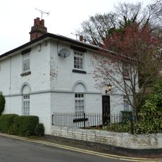
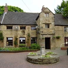
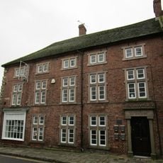
Alfreton Hall is an English country house from the 18th century, with architectural details that reflect that period. The main structure you see today was extended in 1855 with a design by Benjamin Wilson.
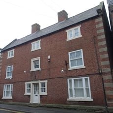
Rowland Morewood started building in 1724, creating a residence that became tied to the region's coal mining economy. The house was deeply rooted in the area's industrial heritage.
The residence carries the Morewood family name, reflecting their long presence and influence in the area. Visitors today can see how this household shaped the character of the surrounding community.
The estate sits just minutes from Junction 28 of the M1 Motorway, making it straightforward to reach by car. The grounds and buildings offer spaces for events, celebrations, and restaurant services.
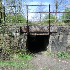
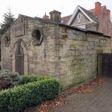
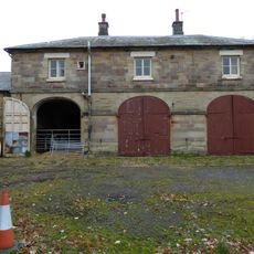
Underground coal mining caused the ground to sink, leading to the demolition of most original structures in 1968. Only the 1855 extension survived, standing today as evidence of the region's difficult industrial past.
Location: Alfreton
Inception: 1725
Website: http://alfretonhall.com
GPS coordinates: 53.09756,-1.39486
Latest update: December 11, 2025 11:04
Wingfield Manor
3.4 km
Carnfield Hall
2 km
All Saints' Church, South Wingfield
2.3 km
St Leonard's Church
2.8 km
War Memorial and Railings
297 m
Church of St Martin, Alfreton
162 m
Church of St Andrew
2.6 km
Wycliffe Reform Church
249 m
12, Church Street
188 m
17, Church Street
268 m
Milepost Abutting Church Street Front Of George Street
303 m
Amber Mill Bridge (Spc8 61)
2.2 km
George Hotel
298 m
Wingfield Hall
3.2 km
Mile Post 10 Metres South East Of Carr Hill Farmhouse
2.6 km
South Wingfield Footpath Bridge (Spc8 56)
2.2 km
Milepost
3.3 km
House Of Confinement
424 m
Alfreton House
656 m
Former Stableblock To Alfreton Hall
81 m
Railway Bridge To The South East Of Dale Bridge
2 km
Barn Adjoining Number 16
252 m
2, King Street
274 m
Railway Bridge To The West Of Weirmill Bridge
3.5 km
Railway Bridge South Of South Wingfield Stationmaster's House
2.1 km
Sundial 15 Metres South East Of Porch To St Martin's Porch
167 m
Milepost, roadside at SK404579
2.1 km
Milepost, S of Toadhole Furnace
1.8 kmVisited this place? Tap the stars to rate it and share your experience / photos with the community! Try now! You can cancel it anytime.
Discover hidden gems everywhere you go!
From secret cafés to breathtaking viewpoints, skip the crowded tourist spots and find places that match your style. Our app makes it easy with voice search, smart filtering, route optimization, and insider tips from travelers worldwide. Download now for the complete mobile experience.
A unique approach to discovering new places❞
— Le Figaro
All the places worth exploring❞
— France Info
A tailor-made excursion in just a few clicks❞
— 20 Minutes