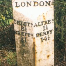
Alfreton, Market town in Amber Valley, England
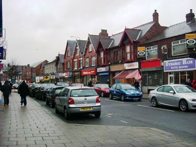
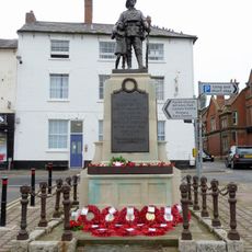
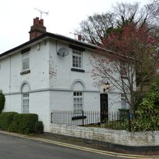
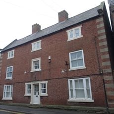
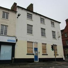
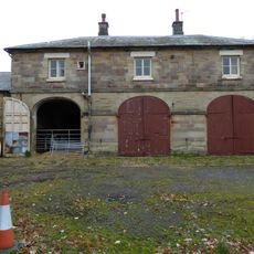
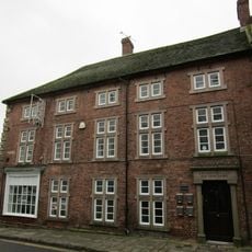
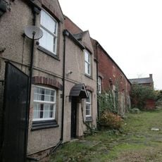
Alfreton is a market town in Amber Valley, Derbyshire, situated on elevated terrain with residential neighborhoods, commercial areas, and industrial zones interspersed throughout. The town functions as an administrative center for its district while maintaining a mixed-use layout that serves local and regional needs.
The settlement has Roman origins confirmed by archaeological discoveries, and its name dates to King Alfred's era, recorded as Aelfredingtune in 1004. These early foundations shaped what would become a lasting community center over the following centuries.
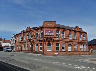
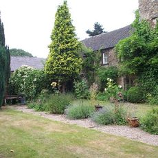
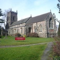
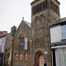
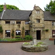
All Saints Church anchors community life with its Norman architecture and remains a focal point in daily life. The town reflects layers of time, with old and new buildings existing side by side throughout the streets.
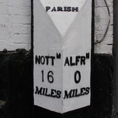
Rail connections link the town to major cities including Liverpool and Norwich, while local buses serve transportation needs throughout Amber Valley. These transport options make it straightforward to explore the wider region or visit nearby destinations.
Roman coins discovered in Greenhill Lane in 1749 reveal the long history of settlement in this area. These objects suggest the locality served as an active trading center even in ancient times.
Location: Amber Valley
Shares border with: Shirland and Higham, South Wingfield, Swanwick, Riddings, South Normanton
Website: https://alfretontowncouncil.co.uk
GPS coordinates: 53.10000,-1.38333
Latest update: December 20, 2025 01:10
Alfreton Hall
817 m
Carnfield Hall
1.2 km
War Memorial and Railings
548 m
Church of St Martin, Alfreton
674 m
Wycliffe Reform Church
587 m
12, Church Street
630 m
17, Church Street
561 m
Milepost Abutting Church Street Front Of George Street
535 m
George Hotel
534 m
Former Stableblock To Alfreton Hall
741 m
House Of Confinement
859 m
Alfreton House
273 m
2, King Street
566 mCroft Infant School
630 mChest Tomb 1 Metre To North Of Chancel Of St Martin's Church
658 m
Barn Adjoining Number 16
571 m
Sundial 15 Metres South East Of Porch To St Martin's Porch
664 m1, Raglan Street
342 mCoach House At Carnfield Hall
1.1 kmTag Farmhouse
2.5 kmShirland Lodge Farmhouse
1.2 kmMilepost To North Of Carnfield Hall
1.2 kmPigeoncote To East Of Former Stable Block To Alfreton Hall
688 m
Milepost, roadside at SK404579
2.1 kmPremier Cinema
2.3 kmAlfreton Golf Club
2.1 kmWyvern Dragon
298 mWork of art
2 kmVisited this place? Tap the stars to rate it and share your experience / photos with the community! Try now! You can cancel it anytime.
Discover hidden gems everywhere you go!
From secret cafés to breathtaking viewpoints, skip the crowded tourist spots and find places that match your style. Our app makes it easy with voice search, smart filtering, route optimization, and insider tips from travelers worldwide. Download now for the complete mobile experience.
A unique approach to discovering new places❞
— Le Figaro
All the places worth exploring❞
— France Info
A tailor-made excursion in just a few clicks❞
— 20 Minutes