Maryport, Coastal town in Cumbria, England
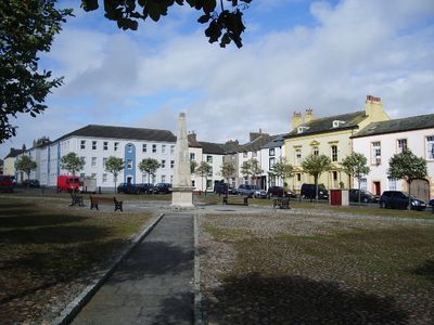
Maryport is a coastal town on the Solway Estuary featuring a working harbor, beaches, and coastal paths along the water's edge. The town spreads from the waterfront inland, where streets and local buildings form its center.
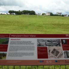
The Romans built a fort called Alauna here around 122, serving as a command base for coastal defense at the western end of Hadrian's Wall. The fort was part of a wider system protecting the occupied territories from threats in the north.
The Senhouse Roman Museum displays altar stones and objects from Roman times, showing how soldiers and civilians lived during the occupation of Britain. The collection gives visitors a direct look at the daily life of people who lived here nearly two thousand years ago.
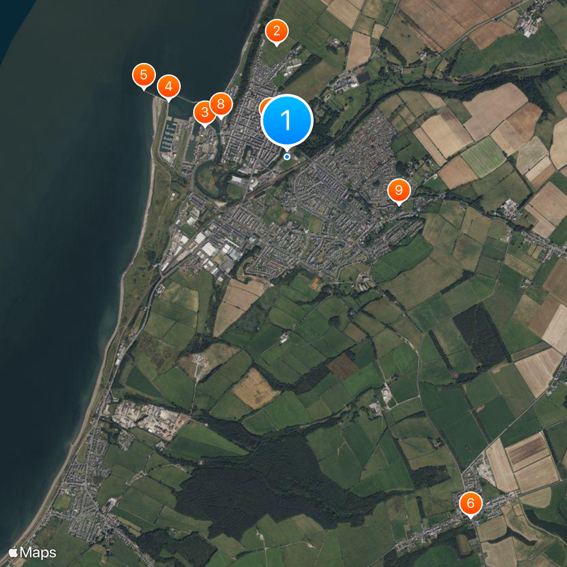
The town is accessible via the A596 road and connects well to nearby cities by car or public transport. Plan visits to the beaches and harbor around low tide for the best walking conditions along the shore.
The settlement was originally called Ellenfoot but was renamed by Humphrey Senhouse in the 1600s when he developed it as a modern port. He chose to name it after his wife Mary, a change that shaped the community's identity for the following centuries.
The community of curious travelers
AroundUs brings together thousands of curated places, local tips, and hidden gems, enriched daily by 60,000 contributors worldwide.